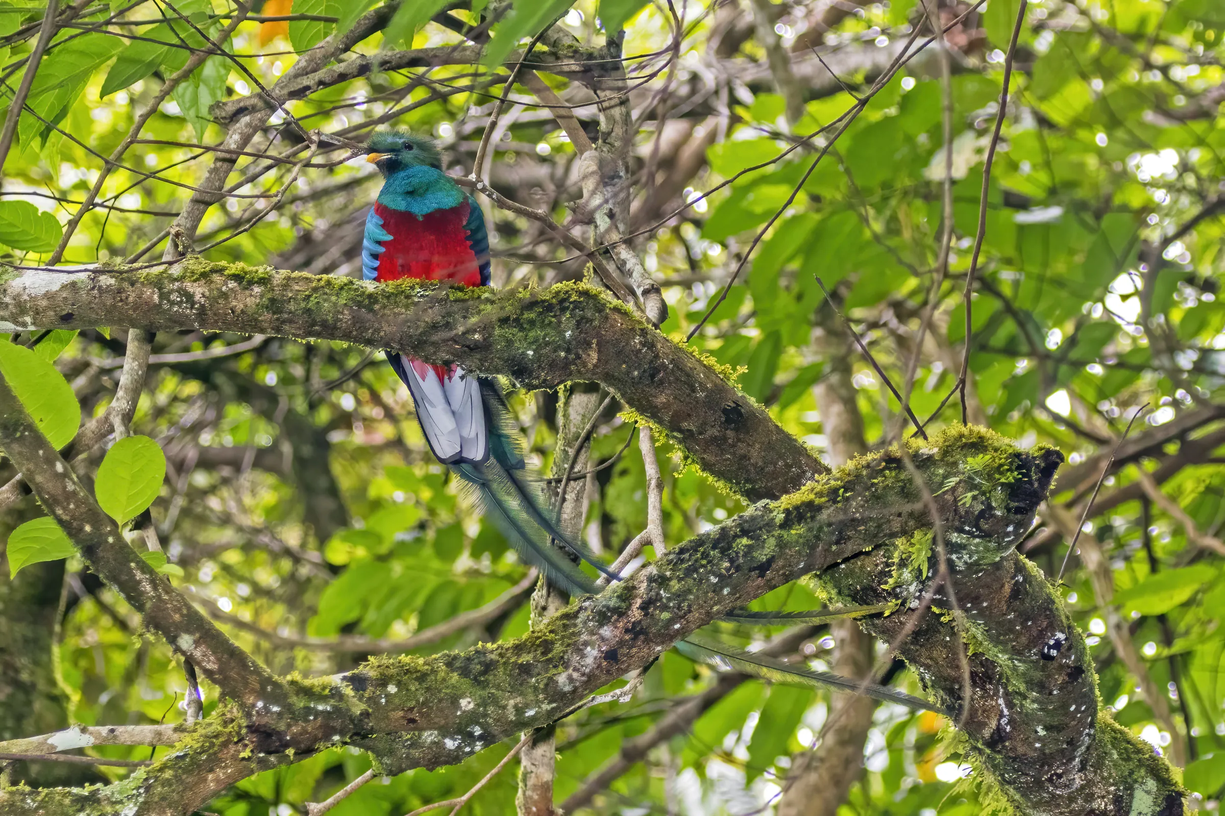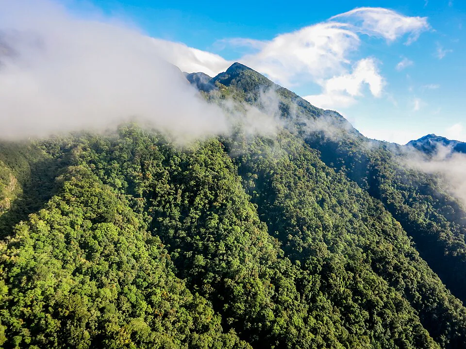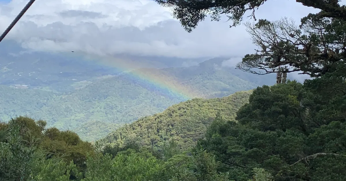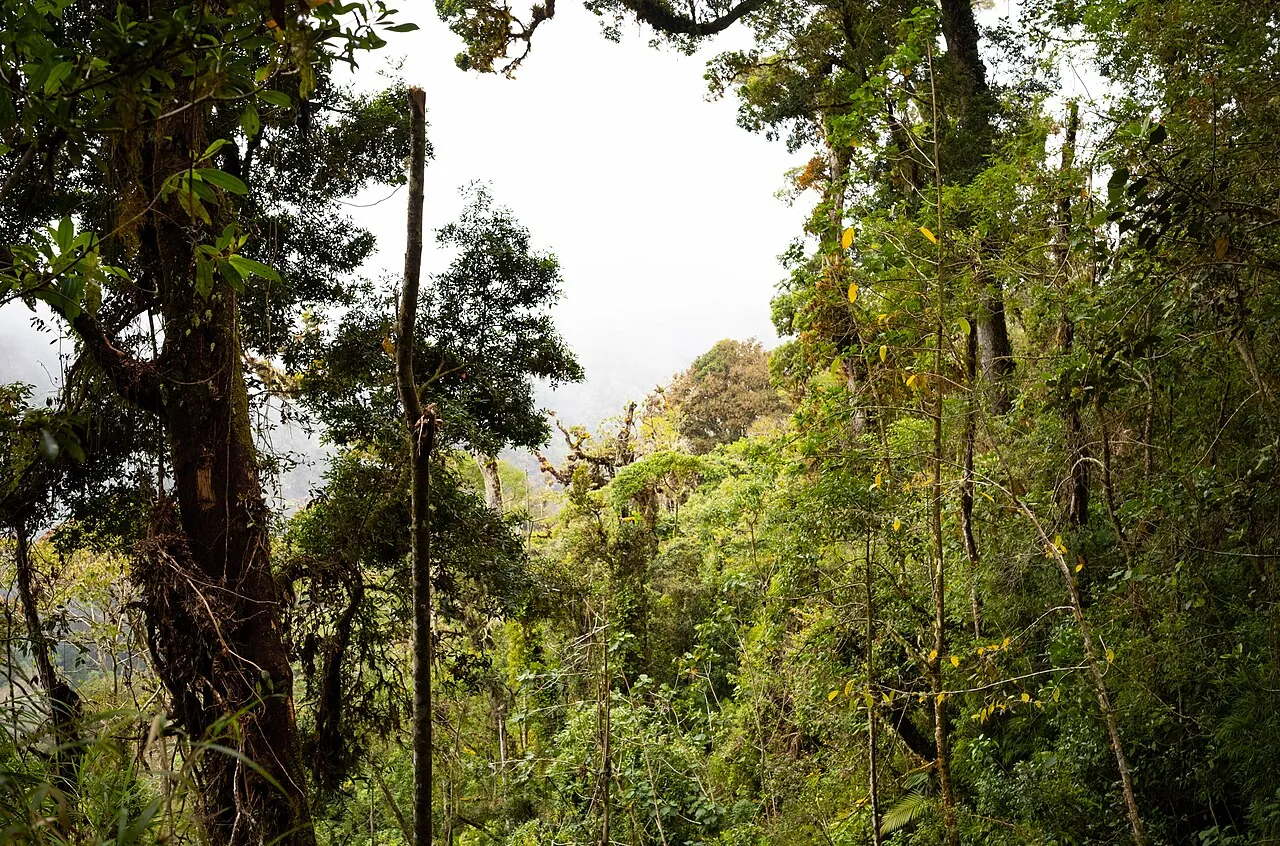
The Pipeline Trail in Boquete is an easy-to-moderate, 2 to 3 hour out-and-back walk in the Bajo Mono valley, about 20 minutes from town, that follows an old water pipe up a river canyon to a waterfall.[1] It is a fair place to look for the resplendent quetzal, especially from February to May, but treat it as a cheap half-day cloud-forest walk with a chance of a quetzal, not a sure thing. Finca Lérida records more sightings.
Most people who look up the Pipeline Trail in Boquete want one thing: a real shot at a resplendent quetzal without an overnight volcano climb or a full-day trek. The trail gives you a shaded morning in cloud forest for a few dollars, and during the nesting months it gives you a genuine chance at the bird.
It does not give you a guarantee, and it is not the strongest quetzal site around Boquete. The sections below cover how to reach the entrance, what the walk is actually like, when and where to look, and where to go instead if the quetzal is the whole point of your trip. Prices and hours are as of November 2026.
What the Pipeline Trail in Boquete is and why people hike it
The Pipeline Trail is a footpath on private land in Bajo Mono, just outside Boquete town. It follows a river through the forest and ends at a slowly falling cascade.[2] The name comes from the old water pipe the path runs beside. In Spanish you will also hear it called Sendero de la Tubería or Sendero Pipeline, and some listings call the waterfall at the end Cascada Escondida.[3][1]
People hike it for three reasons. It is short and gentle, with bridge crossings made from tree trunks or built planks, so it suits families and hikers who are not after a workout.[2] It costs a few dollars. And it sits in quetzal country: birding tour operators list it as a place to search for the bird.[4][5]
If you are still choosing between trails, our comparison of the best hikes in Boquete sets the Pipeline against six other routes on distance, climb and fees.
Is the Pipeline Trail worth it for quetzals?
It is worth it if you want a pleasant, low-effort walk with a chance of a quetzal. It is the wrong pick if seeing the bird is the main goal of your day. The Pipeline runs lower than the prime nesting zone, it is better for tanagers and hummingbirds, and it logs fewer quetzal sightings than Finca Lérida.[6]
| Quetzal spot | Entry | Effort | Quetzal chances | Best for |
|---|---|---|---|---|
| Pipeline Trail, Bajo Mono | $3-5 cash | 2-3 h, easy to moderate | Possible in season, fewer reports than Lérida | A cheap half day with a chance of the bird |
| Finca Lérida, Alto Quiel | Check the current rate | Estate trails, guided options | More reports than Pipeline, documented nests | Best quetzal odds |
| Los Quetzales Trail, Volcán Barú park | $5 park fee | Long and demanding, guide advised | National-park cloud forest | Fit hikers who want a full day |
Entry fees per person as of November 2026. The Pipeline fee is paid in cash to the landowner, and the amount reported varies between $3 and $5.
Getting to the Pipeline Trail trailhead from Boquete town
A taxi is the simplest way to reach the trailhead. The entrance is about 6.5 km from central Boquete, roughly a 20-minute drive.[1] Regular taxis and the local bus both run out to Bajo Mono, so you do not need a 4x4 or a tour to get there.
For the bus, go to the stop across from The Perfect Pair Coffee Shop and ask the driver to drop you at the Pipeline trail entrance.[2] No bus route number, timetable or fare is published for this run, so ask at the stop and allow extra time.
Taxi fares around Boquete are not published, and you agree the price with the driver before you get in.[7] Short hops between Bajo Mono and town usually run around $8 to $12. There is no taxi rank at the trailhead, so set a pickup time with your driver, or take the number of a driver your lodging uses, before you start walking.
Leave from Bajo Boquete 20 min
Take a taxi from town, or the bus from the stop opposite The Perfect Pair Coffee Shop, and ask for the Pipeline trail entrance in Bajo Mono.
Find the sign and the booth 5 min
The entrance is signposted and has a booth or house where you pay the landowner in cash. Ask here about trail conditions after recent rain.
Confirm your ride back 2 min
Before you set off, text or call your driver with a pickup time. Allow 2 to 3 hours for a steady walk, or longer if you plan to stop and bird.
If you are staying near the Lost Waterfalls trailhead, which is in the same valley, you can walk instead. It is about 15 minutes down to the main road and roughly 20 more along the road to the Pipeline sign. Riders can also cycle the road out to Bajo Mono, and our Boquete cycling routes guide covers the climb and the traffic. If you have not booked yet, where to stay in Boquete compares Bajo Boquete with the quieter areas closer to the trails.
Pipeline Trail hike: route, distance and elevation gain
The Pipeline Trail is an out-and-back walk that takes most people 2 to 3 hours round trip.[2][8] You walk upstream to the waterfall and return the same way. The figures that vary are the distance and how much the path climbs.
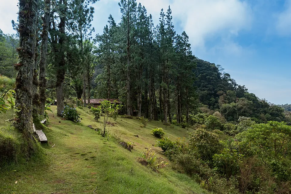
Tourism Panama lists the trail at 3.05 km. Round-trip figures range from 4.5 to 5 km up to about 6.5 km.[9][8][10] The most likely reading is about 2.5 to 3 km each way, and 5 to 6 km in total. Plan for the upper end if you want to bird the top section slowly.
Is it flat or uphill?
Most descriptions call it flat or say the climb is minimal and gradual.[9][8] User GPS tracks tell a slightly different story: a steady gain of around 250 to 270 m on the way in, topping out near 1,800 m. In practice, you walk gently uphill most of the way to the waterfall and coast back down. Nothing on the route is steep or technical, which is why it is rated easy to moderate and suitable for all ages with proper footwear.[8]
What you walk past
- The pipe and the river. The path runs beside the old water pipe and the stream for most of its length, under forest cover.
- Bridges. You cross the water several times on log bridges and built bridges.[2] These are the slipperiest points after rain.
- A giant old tree. Partway up there is a huge old tree that guides often describe as more than 1,000 years old.
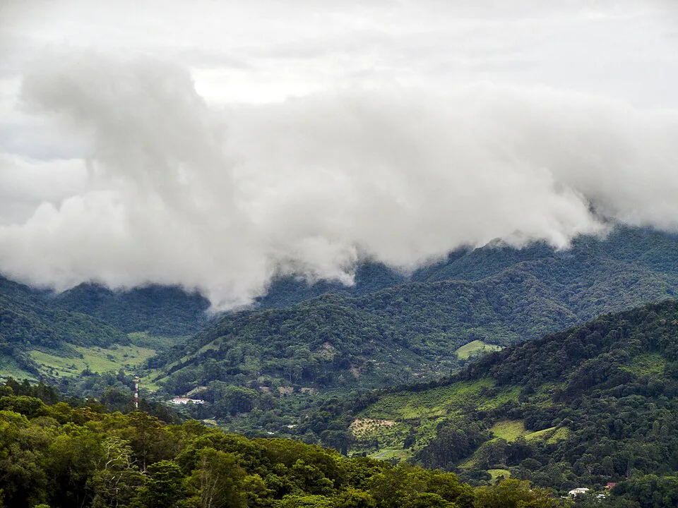
- The upper forest. The higher section, at around 1,750 to 1,800 m, is where quetzal habitat begins and where birders slow down.
- The waterfall. The trail ends at a waterfall inside a narrow canyon.[1] Some hikers swim in the pool at the base. Expect cold water, and skip it if the stream is running high and brown.
When to go for quetzal sightings: months and time of day
Go between February and May, and be on the trail when it opens. Quetzal activity in Boquete peaks from February to May.[11] Nesting begins in January, when males start displaying, and the males are in full plumage by February.[6] One trail guide gives a slightly narrower window of February to April for birdwatching on the Pipeline.[12]
The peak overlaps the dry season, which runs from December to April. April and November are transition months.[13] That makes February and March the strongest months overall: dry trails, birds nesting and males showing off their tail streamers. As of November 2026 you are at the tail end of the wet season, so expect muddier trails and lower odds of a quetzal until the new year.
Our page on quetzal season in Boquete goes month by month. To see how rain and crowds shift across the year, see the best time to visit Boquete.
Time of day
Dawn is the classic advice for quetzals, but you cannot enter the Pipeline at dawn. The recommended hours are 8:00 a.m. to 3:00 p.m., with last entry before 3:00 p.m.[1] In practice, 8:00 a.m. works well here. In the dry season, fog in the 1,800 to 2,200 m zone usually burns off between 8:00 and 10:00 a.m., and bird activity often jumps in the half hour after it clears.[11] Quetzals do not forage much in thick fog, so the first two hours on the trail are your best window.
Where to look and how to spot the quetzal on the trail
Focus on the upper half of the trail, and on two kinds of trees: fruiting wild avocados and dead trunks with holes. Quetzals nest in cavities in dead trees, usually between 1,500 and 2,500 m.[6] Only the top part of the Pipeline, at around 1,750 to 1,800 m, reaches comfortably into that band. The lower stretch near the entrance is better for the tanagers and hummingbirds the trail is known for.
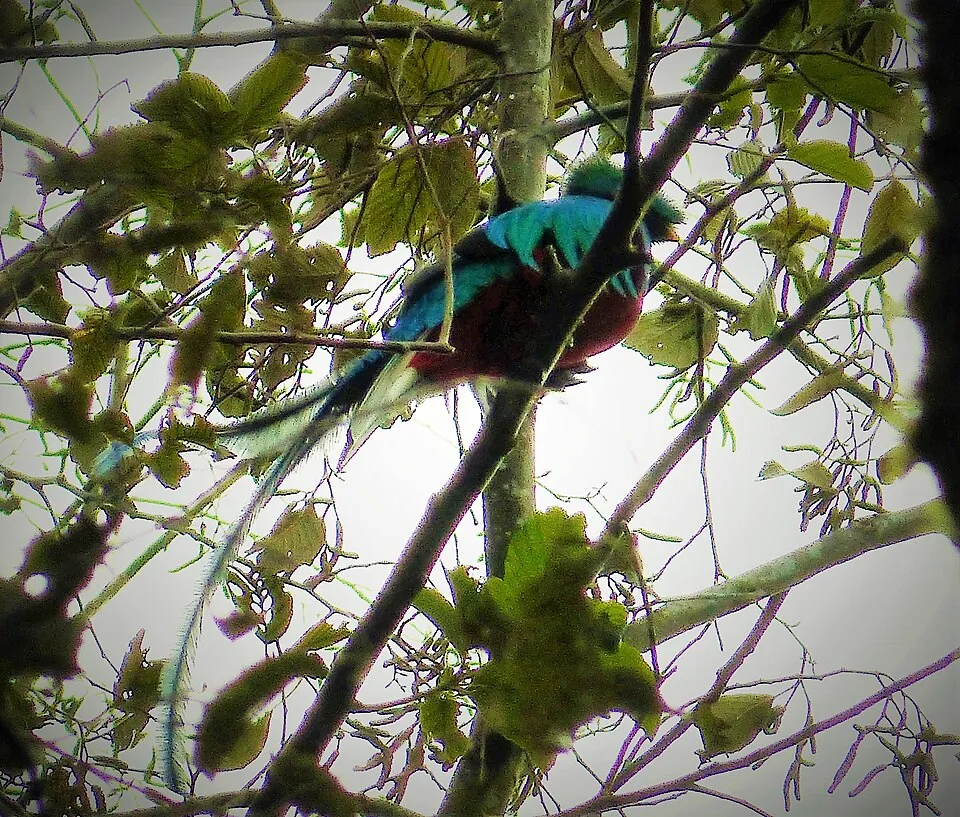
- Find the aguacatillos. These small wild avocado trees are the quetzal's main food. Birders aim to be at fruiting aguacatillos early, while the light is low and the birds are feeding.[6]
- Check dead snags. A dead trunk with a round hole near the top can be a nest. If you see a bird going in or out, watch from a distance and move on.
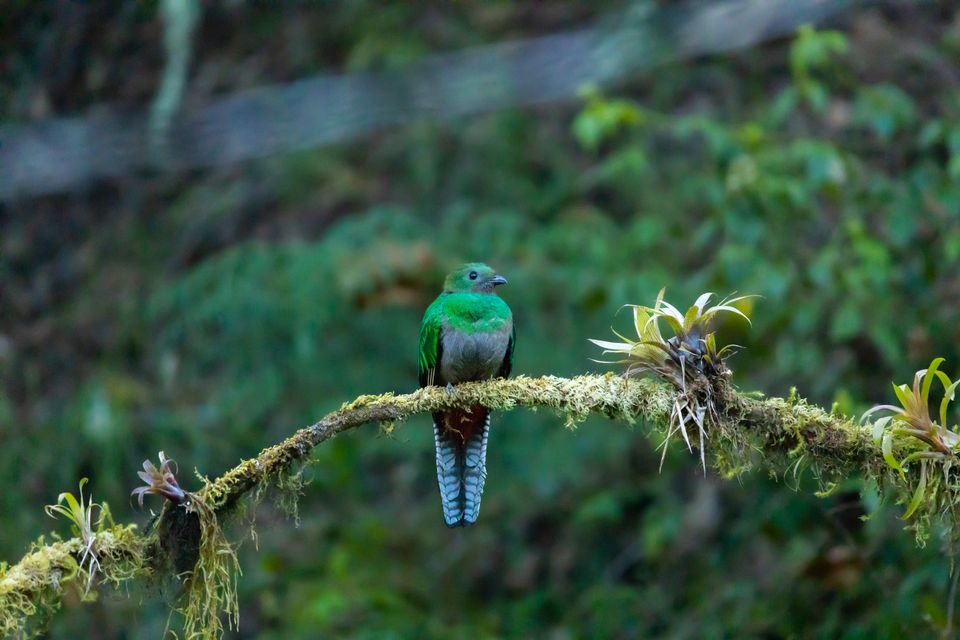
- Look for the tail. In nesting season the males trail long green tail streamers that are easier to spot than the bird's body. Females are plainer and much harder to pick out.
- Stop, then scan. Walking steadily scares birds off before you see them. Ten quiet minutes at a gap in the canopy beats an hour of hiking.
- Ask at the booth or ask other birders. Recent sightings tend to repeat around the same fruiting trees for days at a time.
Local guides often use a laser pointer to show you a perched bird. It saves a lot of frustration when a quetzal is sitting motionless in green foliage 15 m up. The species is listed as Near Threatened by the IUCN, so keep your distance and keep noise down near nests.[14]
Guides, entry fee and rules on the Pipeline Trail
You do not need a guide, and entry costs $3 to $5 in cash. The trail is on private property, and the landowners collect a small fee at the entrance.[12][10] Reported amounts differ: one 2026 guide gives about $3 in cash, and another gives $5 per person paid at the booth.[8][12] Carry $5 per person in small bills and you are covered either way.
- Entry fee
- $3 to $5 per person, cash only, paid at the booth or house by the entrance. There is no card payment and nowhere to book ahead.
- Hours
- 8:00 a.m. to 3:00 p.m., with last entry before 3:00 p.m. Because the trail is privately run, hours can change, so confirm them when you pay.
- Guide
- Not required. The path is well defined and suits children and inexperienced hikers. A guide mostly improves your quetzal odds rather than your safety.
- Guide credentials
- Panama's tourism authority, ATP, defines a tour guide as a professional it has certified for the activity. Ask to see the certification if you hire someone.
- Guide cost
- Prices for a Pipeline-only bird guide are not published. Rates depend on group size and whether transport is included.
- On the trail
- Stay on the path, take your trash out, and do not cut through the coffee or pasture land around the trail. You are a guest on someone's farm.
Panama certifies guides through the tourism authority, ATP, so a certified guide is easy to ask for.[12][15] Our breakdown of Boquete tour prices covers the birding tours that include the Pipeline, along with the ones you can just as easily do yourself.
The Pipeline and the Lost Waterfalls are separate trails with separate owners and separate fees. If someone at a booth asks for $10 for "the Pipeline", check which trail you are paying for.
What to bring, and trail conditions in rainy season
Bring shoes with real grip, a rain layer, and all your water. The trail can be damp and slippery all year. The basic kit is water-resistant shoes, light breathable clothing with an extra layer for rain, sunscreen, insect repellent, water, snacks, and a map or GPS as a backup.[2]
- Footwear: trail shoes or light boots with deep tread. The log bridges are the trickiest footing, and sneakers with worn soles slide on them.
- Water: carry everything you will drink. Do not drink from the stream without treating the water.
- Navigation and phone: download an offline map before you leave town. Treat mobile signal in the canyon as a bonus, not a plan, which is another reason to fix your taxi pickup time in advance.
- Binoculars: they matter more than any other item if you are here for birds. A quetzal in the canopy is a green shape without them.
- Repellent: mosquitoes come with a damp river canyon, especially around the waterfall.
- Cash: small bills for the entry fee, and for the taxi if you have not settled the fare.
Rainy-season conditions
From May to November, expect mud on every section of the trail.[13] October is the wettest month, at around 218 mm on average, while February is the driest, at about 24 mm.[16] Some local records put October's total much higher. Either way, from August through November the path is usually soft, the roots are slick, and the stream runs higher and faster.
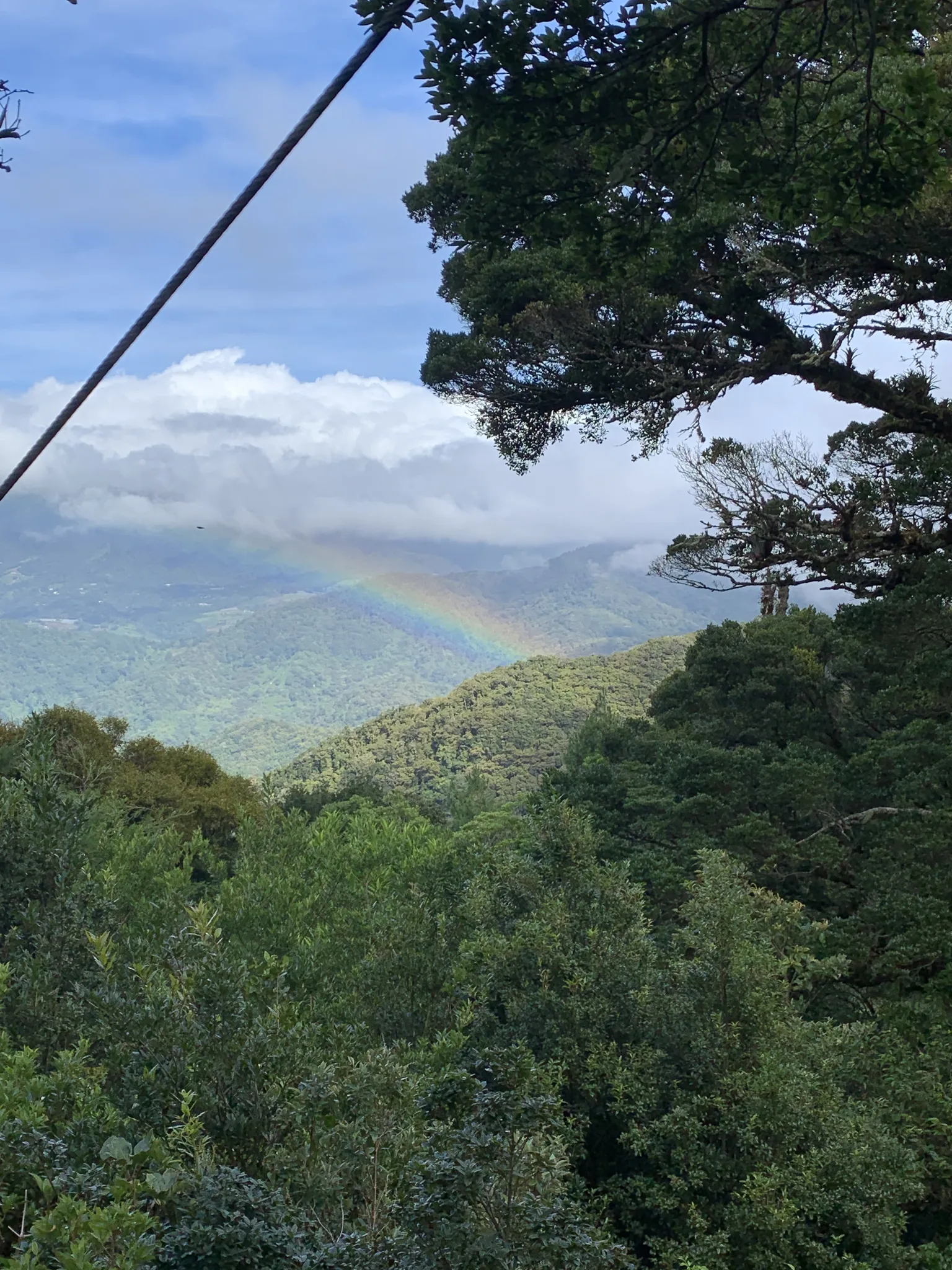
The bridges cross the water, so you do not normally wade, but logs and planks get greasy after rain. Washouts are not a regular problem on this route. Still, ask at the booth after a heavy night of rain, and turn back if the stream is brown and loud at the bridges. Rain in Boquete tends to build through the day, so an 8:00 a.m. start usually has you out before the afternoon showers.
In the wet season, swimming at the waterfall is often a poor idea, because the pool turns cold, murky and fast after rain. Enjoy the view and save the swim for a dry-season visit.
Other quetzal spots if the Pipeline Trail does not work for you
If the quetzal is the reason for your trip, go to Finca Lérida first. Treat the Pipeline as a bonus walk. Finca Lérida's best birding months are January to May, and active nests have been documented in the estate's upper reserve.[6] The Los Quetzales Trail inside Volcán Barú National Park is the bigger, wilder alternative, with a $5 park entry fee.[6]
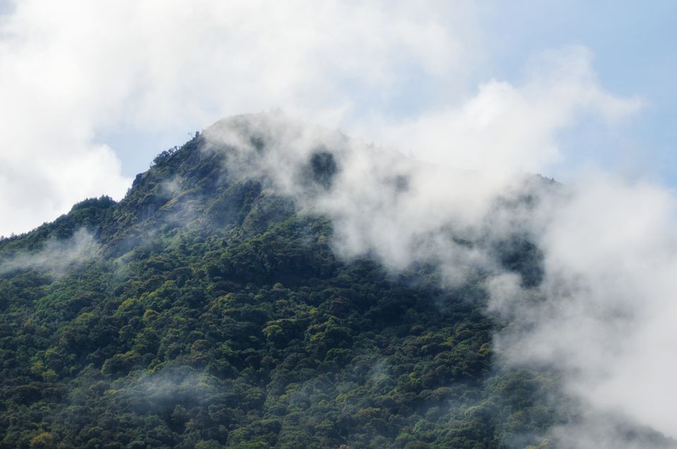
Finca Lérida
Private estateJan-MayGuided optionsA coffee estate in Alto Quiel whose higher cloud forest reaches the main quetzal nesting band. It records more sightings than the Pipeline, and its trails are set up for birders.
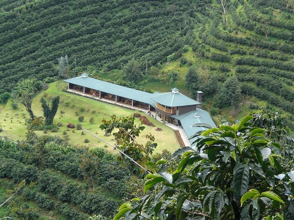
Los Quetzales Trail
$5 park feeFull dayGuide advisedA long national-park trail entered from Alto Chiquero, above Boquete, through continuous cloud forest. It is demanding, and many locals advise against doing it without a guide.
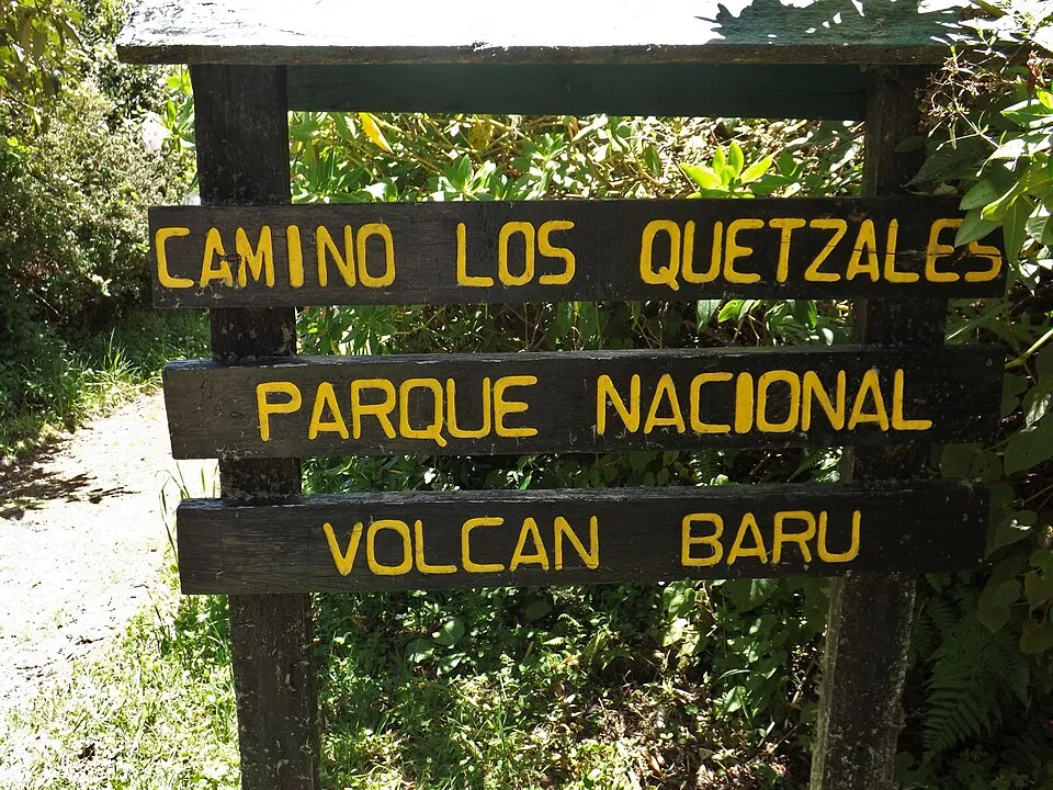
Our Finca Lérida and Los Quetzales Trail birdwatching guide covers trail logistics, tour prices and the aguacatillo trees to focus on. The Los Quetzales access point at Alto Chiquero is a national-park entrance, separate from any private Bajo Mono trail.[17]
If you just want a waterfall hike
If birds are not the point and you want more effort for your morning, the Lost Waterfalls trail sits in the same Bajo Mono valley. It is steeper, it costs more, and it passes three falls instead of one. Fit hikers can combine both trails in a day: Pipeline first, while the birds are active, then Lost Waterfalls before entry closes.
To fit the Pipeline into a wider trip, our three-day Boquete itinerary shows where a Bajo Mono morning sits alongside coffee farms, the Caldera hot springs and a summit attempt.
If you only have one early morning for quetzals and it falls in the February to May window, spend it at Finca Lérida. Use the Pipeline on a second morning, or as a relaxed family walk.
Before you go
Is the Pipeline Trail in Boquete worth it to see resplendent quetzals?
It is worth it as an easy walk with a chance of a quetzal, not as a guaranteed sighting. The trail runs lower than the prime nesting zone and records fewer quetzal sightings than Finca Lérida. If the bird is your main goal, spend your best morning at Finca Lérida.
How do I get to the Pipeline Trail from Boquete town?
Take a taxi, which takes about 20 minutes, or the local bus toward Bajo Mono. For the bus, use the stop across from The Perfect Pair Coffee Shop and ask the driver for the Pipeline trail entrance. Agree the taxi fare before you set off, usually around $8 to $12, and set a pickup time, because there is no taxi rank at the trailhead.
How long is the Pipeline Trail hike?
About 2 to 3 hours round trip, covering roughly 4.5 to 6.5 km. Published distances vary, but most put it at 2.5 to 3 km each way. Birders who stop often in the upper forest should allow an extra hour.
How much elevation gain is on the Pipeline Trail?
Modest: around 250 to 270 m on the way in, according to user GPS tracks. Most descriptions call the trail flat or gently climbing, and nothing on it is steep. You walk slightly uphill to the waterfall and downhill on the way back.
How much does it cost to enter the Pipeline Trail?
$3 to $5 per person in cash, paid to the landowner at the entrance. The trail is on private land, and the amount reported has varied. Carry $5 per person in small bills to be safe.
Do I need a guide on the Pipeline Trail?
No, a guide is not required. The path is well defined and suits families and beginners. A certified guide mainly improves your chances of actually spotting a quetzal, often by pointing out perched birds with a laser.
What is the best time to see quetzals on the Pipeline Trail?
February to May, starting when the trail opens at 8:00 a.m. That is nesting season, and males are in full plumage. In the dry season, morning fog usually lifts between 8:00 and 10:00 a.m., and bird activity often picks up just after it clears.
Does it rain a lot in Boquete, Panama?
Yes, from May to November, with October usually the wettest month. December to April is the dry season, and February is the driest month. On the Pipeline, rainy-season mud and slick log bridges are normal, so start early to beat the afternoon showers. See the best time to visit Boquete for a month-by-month breakdown.
Are mosquitoes bad on Boquete trails?
They can be on damp river trails like the Pipeline, so bring insect repellent. The canyon around the waterfall is the most likely place to meet them. Light long sleeves also help in the wet season.
Can I hike the Pipeline Trail and Lost Waterfalls on the same day?
Yes, if you are reasonably fit and start early. Both trails are in Bajo Mono, and each takes about 2 to 3 hours. Do the Pipeline first while birds are active, then the steeper Lost Waterfalls trail before entry closes in the afternoon.
Sources
Prices, schedules and rules change. The small numbers in the text point to these sources.
- 1Circuito del Café - Sendero Pipeline (Cascada Escondida) trail pagecircuitodelcafe.com
- 2
- 3
- 4Holbrook Travel - Birding in Panama, Friends of Bosque tripholbrooktravel.com
- 5GetYourGuide - Boquete hiking tours and reviews 2026getyourguide.com
- 6
- 7I Go Panama - Boquete and Jaramillo travel guideigopanama.com
- 8
- 9Tourism Panama - 11 hiking trails and waterfalls in Boquetetourismpanama.com
- 10Boquete Properties - What to do in Boquete 2026 (trails, hot springs, coffee)boqueteproperties.com
- 11
- 12The Visitor Panama - Pipeline Trail family eco-adventure articlethevisitorpanama.info
- 13
- 14Wikipedia - Resplendent quetzal (species article)en.wikipedia.org
- 15
- 16Weather Spark - Average weather and climate in Boquetees.weatherspark.com
- 17Gaceta Oficial - 2016 Plan de Uso Público, Parque Nacional Volcán Barúgacetaoficial.gob.pa
Image credits
- Cloud forest, Los Quetzales Trail, Baru Volcano National Park, PanamaRB Photo · CC BY 2.0
- Resplendent Quetzal (Pharomachrus mocinno) - Flickr - gailhampshire (1)gailhampshire from Cradley, Malvern, U.K · CC BY 2.0
- Misty cloud-covered forested mountainPexels · Pexels License
- Female resplendent quetzal perched on a mossy branchPexels · Pexels License