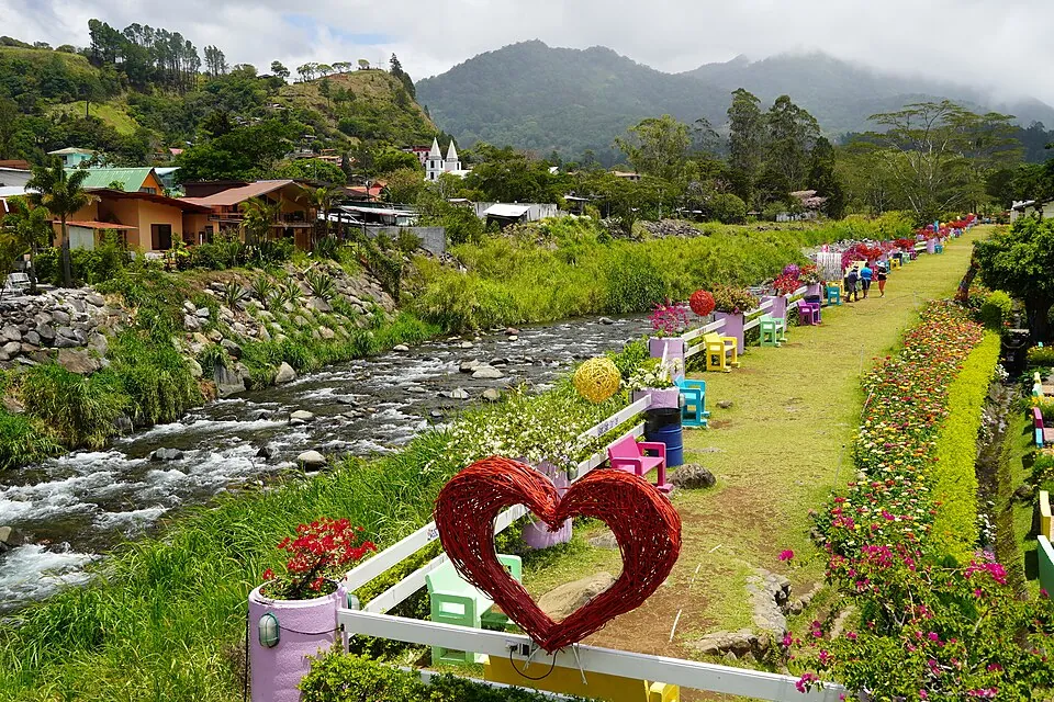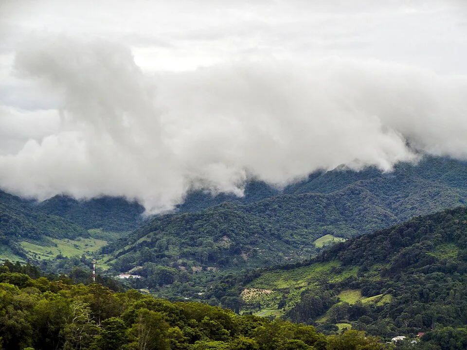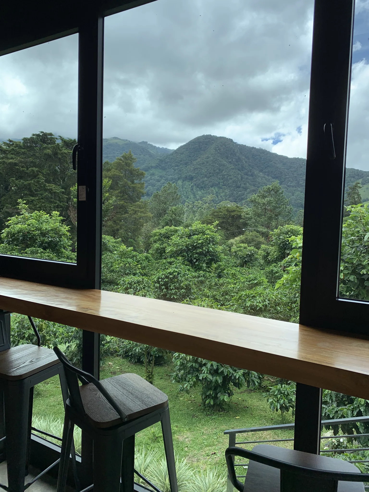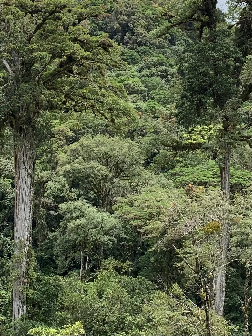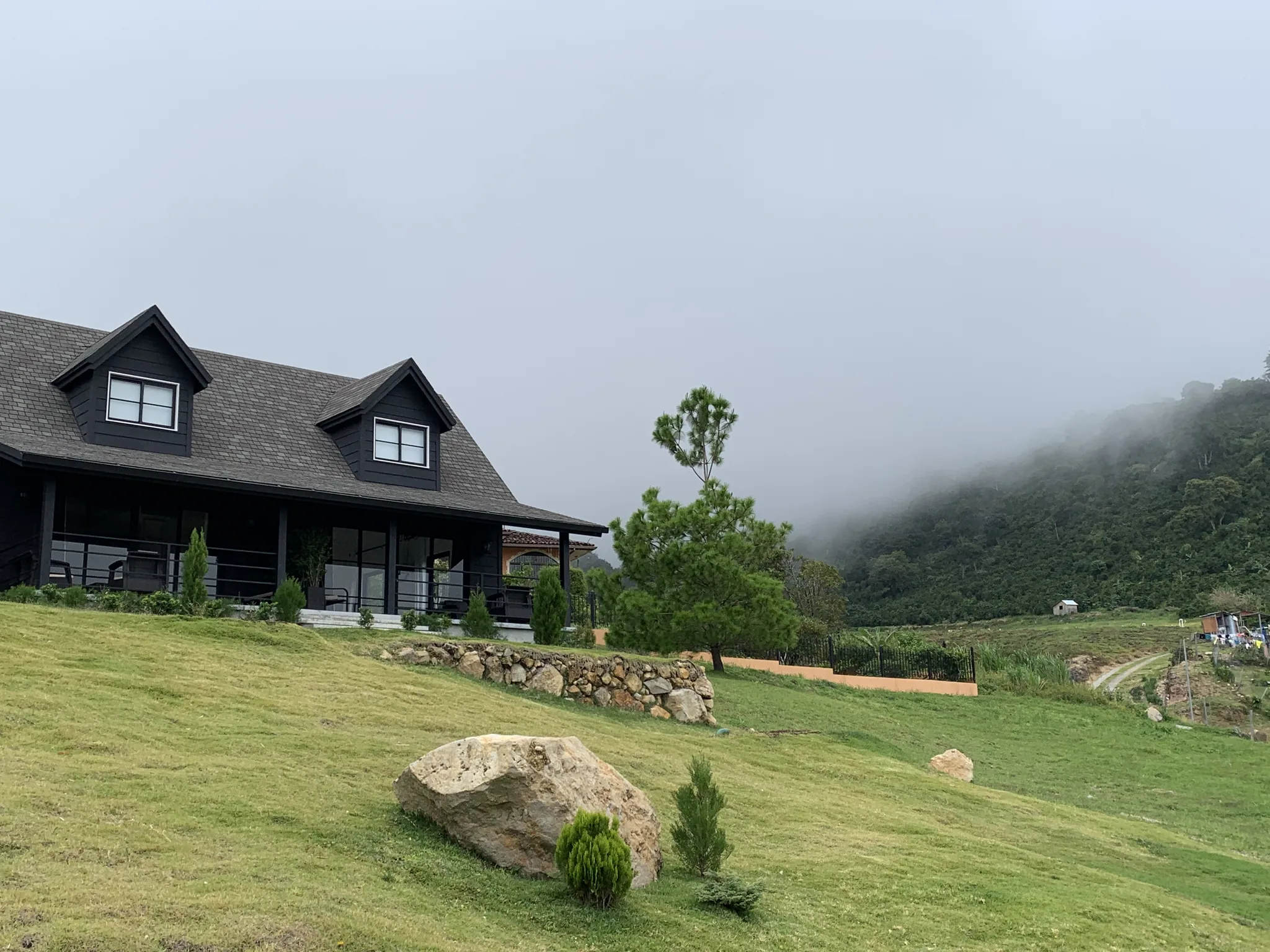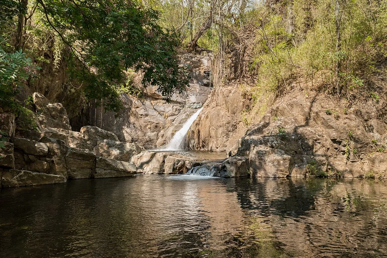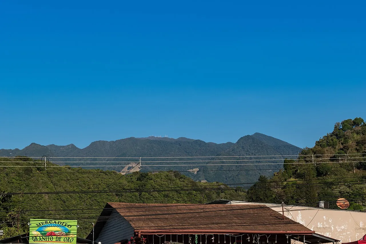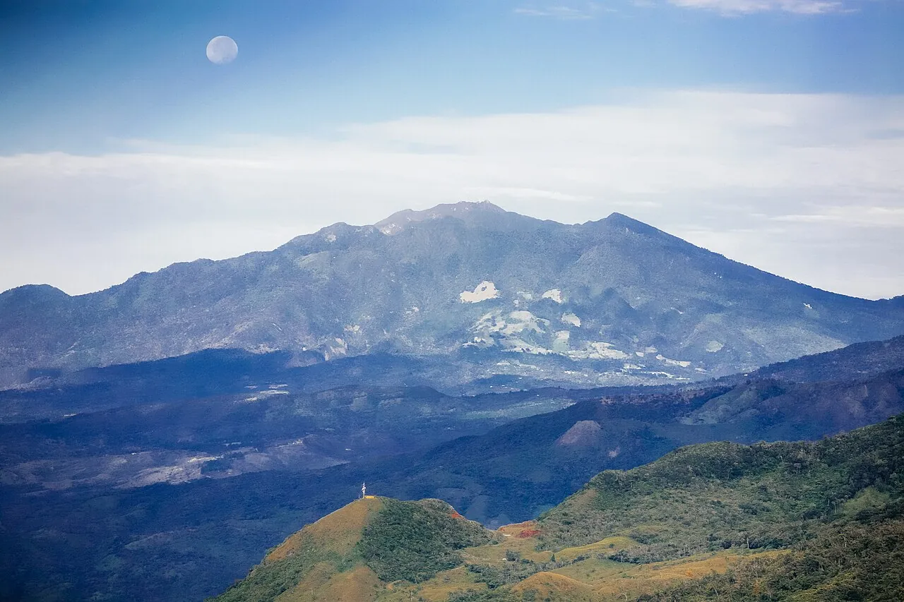
The El Pianista Trail is a free, unsigned out-and-back hike. It starts beside the Il Pianista restaurant in Los Naranjos, about 4 km from Boquete town, and climbs roughly 600 m through cloud forest to a viewpoint on the Continental Divide.[1] Plan on about 8 to 9.5 km round trip and 3 to 4 hours of steep, muddy walking, and turn around at the mirador.
The El Pianista Trail is Boquete's free cloud-forest climb. There is no ticket booth and there are no facilities. A steep, muddy path leaves a roadside restaurant and climbs to the Continental Divide. Outside Panama the trail is better known for the 2014 disappearance of two Dutch students, so many search results read like true-crime pages rather than route notes.
This page covers the planning side: how to reach the start, how far and how steep the route is, when the mud is manageable and when another Boquete trail is a better use of the day. If you are still choosing, our comparison of the best hikes in Boquete sets El Pianista next to six other trails.
What the El Pianista Trail is and who it suits
El Pianista is an out-and-back path. It climbs from the Los Naranjos area above Boquete, through farmland and then cloud forest, to a viewpoint on the Continental Divide, and you return the same way. The Panama Tourism Authority lists it as "Sendero El Pianista - Los Canjilones" among Boquete's less-visited places in its 2020 visitor survey.[2] The Pianista itself is one of Boquete's named hills, alongside Palo Alto, La India Vieja and La Estrella.[3]
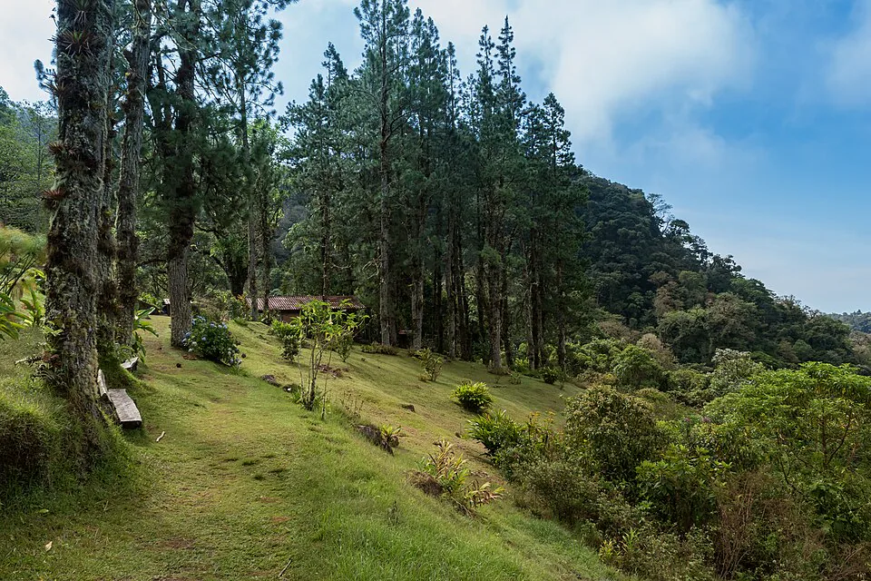
The trail has an unusual official status. Authorities restricted it in 2016, and anyone who walks it alone without a guide does so at their own risk.[4] It has not become a closed or ticketed site, though. Hikers still start from the road at no charge, and Boquete budget guides list the self-guided walk as free.[5]
A good fit if
- You are fit enough for a sustained climb of about 600 m and a slippery descent of the same height.
- You want cloud forest, moss and quiet more than waterfalls or a big panorama.
- You can follow a downloaded GPS track and will start early.
- You are walking with at least one other person, or with a guide.
Skip it if
- It has rained hard in the past day or two, especially in the green season.
- You are hiking with young children or have weak knees on steep, wet descents.
- You are alone and have no offline map. The trail has no signs, and phone signal cannot be relied on.
- You want a guaranteed view. Cloud often covers the mirador by late morning.
How to get to the El Pianista trailhead from Boquete town
The trailhead is next to the Il Pianista restaurant on Avenida Buenos Aires in Los Naranjos, about 4 km from Boquete town. The entrance beside the restaurant is marked with green dots.[1] The restaurant sits at about 1,264 m, which is your starting altitude.[6]
Map listings spell the restaurant "Il Pianista", while hikers and bus drivers usually say "El Pianista". It is the same place. Ask for "el restaurante El Pianista en Los Naranjos" and drivers will know it.
| Option | Price | Time | Return trip | Best for |
|---|---|---|---|---|
| Taxi from the central park | $5-8 one way | About 10-15 min | Arrange pickup | Earliest start |
| Local bus from Bruña toward Alto Lino | Under $1 | Short ride plus wait | Flag a bus down | Lowest cost |
| Walk from town | Free | Roughly 1 h uphill | Downhill walk back | Staying on the north side of town |
Fares in US dollars as of November 2026. Taxi fares are negotiated, not metered.
By bus
The cheapest way up is the local bus that leaves from the Bruña supermarket heading toward Alto Lino. Tell the driver you want El Pianista and he will drop you at the restaurant, for a fare of under a dollar.[7] Schedules are not posted online, so check departure times at the stop the day before if you want an early start.
By taxi
Boquete's taxis are white with a blue stripe and have no meter. A ride from town to the El Pianista trail entrance usually costs $5 to $8, so agree the price before you get in.[8] Boquete has no Uber or InDriver. Ask your lodging to call a taxi, or hail one in front of the central park.[8] A short hop within town runs $2 to $3.[8]
Getting back
Don't count on a taxi waiting at the restaurant when you finish. Most hikers either agree a pickup time with their driver, flag down a bus heading back toward town, or walk the road downhill to Boquete. If you would rather be close to the trailhead, Los Naranjos has a few lodges, but they are spread out. Boquete Cloud Forest Lodge, for example, sits about 2.8 km in a straight line from the trail and recommends having a car.[9] Our guide to where to stay in Boquete weighs that kind of quiet against the walkability of Bajo Boquete.
El Pianista Trail route: distance, elevation gain and hiking time
Expect roughly 4 to 4.7 km each way, so about 8 to 9.5 km round trip, with around 600 m of climbing and 3 to 4 hours of walking.
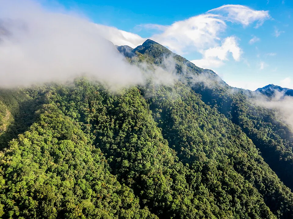
Published figures vary. Shorter tracks come in at 7.08 km with 603 m of gain.[10] Tourism Panama lists 8.18 km and more than 600 m.[11] Other guides give about 9.6 km and over 2,000 ft (about 610 m).[12] GPS tracks drift under dense canopy, so treat 8 to 9.5 km as the working range. The climbing figure is more consistent, and it matches the gap between the restaurant at about 1,264 m and a mirador at roughly 1,860 m.
Most guides put the round trip at 3 to 4 hours.[12] Fast, dry-season hikers can manage it in 2 to 3 hours.[5] Most of the time goes on the climb. The descent is shorter in distance per minute but rarely as quick as you expect, because the clay gullies need careful footing on the way down.
Pick a turnaround time before you start, such as 10:30, and head down at that time even if you have not reached the mirador. The view is usually gone by then anyway, and it keeps you off the steep sections when afternoon rain arrives.
A realistic morning on the trail
What the trail is like underfoot and where it gets hard
The difficulty is not the distance. It is about 600 m of steady climbing on clay, roots and wet rock, with very few flat stretches to recover.
The lower section
The first part leaves the road and passes houses and farmland before reaching the forest edge. The going is easy here, but hikers regularly report loose and sometimes aggressive dogs on this stretch and inside the forest. Many carry a stick and keep their voice firm if a dog comes at them. Stay on the path and respect fences, since the route starts among private properties.
The forest climb and the gullies
Once in the forest, the path steepens and narrows. In several places it runs through deep, eroded clay channels, possibly the "canjilones" in the trail's official name. These channels are often full of mud and running water, and you may need your hands for balance. Small stream crossings are usually ankle-deep or less in the dry season. Side paths branch off in places. One independent hiker found the main route easy enough to follow, but others describe confusing junctions. A downloaded GPS track settles any doubt.
The mirador, and why you stop there
The day hike ends at the Mirador del Pianista on the Continental Divide. On a clear morning you look out over forested ridges in both directions. Beyond this point the path continues down the far side of the divide toward remote river valleys on the Bocas del Toro side. It is a separate, much longer and far more serious route, not an extension of the day hike.
Everything on this page assumes you turn around at the viewpoint. The terrain beyond it has no services and no reliable phone signal, and it drops into steep river country.
Best months to hike El Pianista and what rain does to the trail
The firmest footing comes in Boquete's dry season, roughly mid-December or January through March or April. From about May to November afternoon rain turns the gullies into mud trenches. The late months of the rainy season are usually the muddiest.
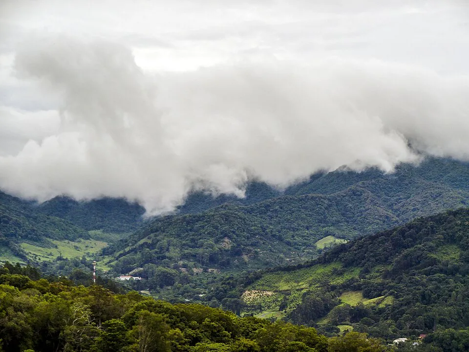
Even in the dry months the upper forest stays damp, and you should expect some mud on any day of the year. Cloud is the other variable. Mornings give the best chance of a view from the divide, which is why early starts matter more than the month. Our month-by-month guide to the best time to visit Boquete covers dry-season winds, the misty drizzle locals call bajareque, and when crowds thin out.
Boquete's forest trails get muddy in the wet months and can close after heavy rain.[13] Landslides do happen in the district: heavy November rains in 2020 triggered slides in Jaramillo.[14] El Pianista has no ticket office to announce a closure. After a few days of hard rain, ask at your lodging or at the restaurant before you set off. If the answer is vague, choose a trail with a staffed entrance instead.
If you do hike between May and November, aim to be back at the road by late morning. Rain usually builds after midday, and the descent through wet clay is where most slips happen.
What to bring and what to leave behind
Bring footwear with real grip, all the water you will drink, and a downloaded track. The trail has no shops, no reliable water sources and no signs.
- Boots or trail shoes with deep lugs
- Smooth soles are useless on wet clay. Waterproof boots help, but expect wet feet in the green season regardless.
- Trekking poles or a stick
- These are the most useful single item on the descent, and a stick doubles as a deterrent for loose dogs.
- Water and food
- Carry around 1.5 to 2 liters per person and enough snacks for four hours. Treat or avoid stream water.
- Rain jacket and a warm layer
- The mirador sits around 600 m above town and is often in cloud and wind.
- Offline map and a charged phone
- Download the track before you leave town and bring a small power bank. Do not plan around making a call from the trail.
- Small first-aid kit
- Blister care and a bandage for scrapes from roots and rock.
Leave behind
- Valuables you would not want to drop in mud, and anything you can't carry comfortably on a steep climb.
- Cotton clothes, which stay wet and cold in the cloud forest.
- The idea of continuing past the mirador.
- Your route plan, with the people at your lodging: tell them where you are going and when you expect to be back.
What happened on the El Pianista Trail in 2014
Kris Kremers, 21, and Lisanne Froon, 22, disappeared on 1 April 2014 after setting out on the El Pianista trail. Some records give the date as 2 April.[4] No official cause of death has ever been established.
On 14 June 2014 a woman from Alto Romero, in Bocas del Toro province, found Froon's blue backpack beside a river, which led to new searches along the Culebra river.[4] Between June and August 2014, skeletal remains were found and confirmed to belong to the two students. Whether they died by accident or by a criminal act could not be determined with certainty.[15] Dutch authorities initially considered it likely that the women fell from a cliff after getting lost, but scattered remains meant a crime was not fully ruled out.[4] Calls from both phones to the emergency numbers 112 and 911 on 1 April 2014 did not connect because there was no signal in the area.[4]
A memorial cross is reported at the furthest point of the route, though some accounts place it at the viewpoint.[7] The practical lessons are the ones this page repeats:
- Turn around at the mirador.
- Stay on the main path.
- Carry a track you can follow without signal.
- Make sure someone in town knows your plan.
For a wider view of risk across the country, our guide to whether Panama is safe covers the highland towns as well as Panama City.
Guide or no guide on the El Pianista hike in Boquete
A guide is recommended rather than enforced. Experienced pairs hike El Pianista on their own in the dry season, but solo hikers, first-timers in cloud forest and anyone hiking after heavy rain are better off with one.
In Panama, tourist guides are certified by the Panama Tourism Authority (ATP). Certification requires a first-aid certificate, a second language, proof of guiding experience and a knowledge exam renewed every two years. No one may present themselves as a tourist guide without meeting these requirements.[16] The ATP publishes a registry of certified guides, updated on 2 October 2026.[17] The pool in the province is small: in 2017 Chiriquí had 35 accredited guides.[18]
No operator publishes a fixed El Pianista rate. Guided half-day hikes on other Boquete trails give a benchmark. Panama Tours charges $40 per person for its Pipeline trail walk, including guide, transport and fruit, and $35 for its Culebra trail hike, as of 2026.[19] Expect a quote in a similar range, and ask whether transport to Los Naranjos is included. Our roundup of Boquete tours and their prices compares guided hikes with the coffee, bike and rafting options.
Reasonable to go without a guide
- Dry season, a few days after the last heavy rain.
- Two or more hikers, all comfortable on steep, slippery ground.
- A downloaded track you have already opened offline, and a firm turnaround time.
Hire one when
- You are hiking alone.
- It is the green season or it rained heavily the day before.
- You have little experience following a GPS track through forest.
- You want someone who can point out birds and plants you would otherwise walk past.
If El Pianista is closed or too much: alternatives in Boquete
The closest substitute is the Lost Waterfalls trail in Bajo Mono. It is shorter, has a staffed entrance and fee, and gives you three waterfalls instead of a cloudy viewpoint. For a gentler forest walk, the Pipeline trail nearby is the easier choice.
| Option | Distance | Entry | Getting there | Best for |
|---|---|---|---|---|
| Lost Waterfalls | About 4-6 km | $10 | Bus toward Bajo Mono, $2.50 | Closest substitute |
| Pipeline trail | About 4.5-7 km | $3-5 | Starts near Lost Waterfalls | Gentler forest walk, quetzal chances |
| Volcán Barú summit | Overnight climb | Park fee | Road from Boquete | Summit closed since July 2026 |
| Caldera hot springs | No hike | Small fee | Taxi $15-20 | Rest day after rain |
Prices in US dollars as of November 2026. Check current entry fees at each site.
The Lost Waterfalls hike charges $10 at the entrance. The bus there leaves from the Bruña supermarket toward Bajo Mono and costs $2.50. It is steep and wet in its own way, but it has people at the gate who know the trail's condition that day.
The Pipeline trail starts about a kilometer from the Lost Waterfalls. Figures on it differ: recent ones give about $3 cash entry and 4.5 to 5 km round trip, while older reports quote $5 and 7 km.[20][7] It is the softer option, and our guide to the Pipeline Trail and its quetzal hike covers timing.
If you came for altitude, note that MiAMBIENTE closed summit access to Volcán Barú on 7 July 2026 after a landslide on the Camiseta road, and no reopening had been announced by late October.[13] Check the status in our Volcán Barú hike guide before planning around it. On a washout day, a taxi to the Caldera hot springs runs $15 to $20.[8] To fit any of these into a short stay, our three-day Boquete itinerary slots a longer hike into day three.
Before you go
Is the El Pianista Trail worth doing?
Yes, if you want quiet cloud forest and can handle steep mud. It is free and much less visited than Boquete's ticketed trails. The view from the mirador is often clouded by late morning, so the forest itself is the main reward. If you want waterfalls or a guaranteed view, the Lost Waterfalls hike is the better pick.
How hard is the El Pianista hike in Boquete?
Moderately hard to hard. The route climbs about 600 m with few flat sections, through clay gullies, roots and wet rock. The descent is where most people struggle, especially after rain. Trekking poles and shoes with deep lugs make a real difference.
How long is the El Pianista Trail?
About 8 to 9.5 km round trip, out and back to the Mirador del Pianista. Most hikers take 3 to 4 hours, and fast hikers in dry conditions can finish in 2 to 3. Published distances vary because GPS tracks drift under dense forest.
Where does the El Pianista Trail start and how do I get there?
Beside the Il Pianista restaurant on Avenida Buenos Aires in Los Naranjos, about 4 km from Boquete town. Take the local bus from the Bruña supermarket toward Alto Lino for under a dollar, or a taxi for about $5 to $8. Boquete has no Uber, and taxis are negotiated in cash.
Is the El Pianista Trail free?
Yes, there is no entry fee or permit. There is no ticket booth and there are no posted hours. The start passes private homes and farmland, so stay on the path and respect fences.
Do I need a guide for El Pianista?
A guide is recommended but not enforced. The trail was officially restricted in 2016, and walking it alone without a guide is at your own risk. Pairs with an offline track often go independently in the dry season. Solo hikers and anyone going after heavy rain should hire a certified guide, and comparable guided hikes in Boquete cost about $35 to $40.
What happened to the two Dutch hikers on El Pianista?
Kris Kremers and Lisanne Froon disappeared on 1 April 2014, and their remains were found months later. A backpack turned up beside a river in Alto Romero, Bocas del Toro, and skeletal remains were confirmed between June and August 2014. No official cause of death was ever determined.
When is the best time to hike El Pianista?
The dry season, roughly January through April, when the clay is firmest. From about May to November afternoon rain fills the gullies with mud. In any month, start by 7 or 8 am to reach the mirador before cloud rolls in. See our best time to visit Boquete guide for month-by-month detail.
Is El Pianista safe to hike alone?
It is not a good choice for a solo hiker without a guide. The trail has no signs, there are confusing side paths, phone signal is unreliable and loose dogs are common. If you go anyway, carry an offline track, tell your lodging your plan and return time, and turn back at the mirador.
Sources
Prices, schedules and rules change. The small numbers in the text point to these sources.
- 1The Visitor Panama - Sendero El Pianista article (Oct 2024)thevisitorpanama.info
- 2
- 3
- 4Wikipedia ES - Desaparición de Kris Kremers y Lisanne Froones.wikipedia.org
- 5Panamaspot - ¿Cuánto cuesta Boquete? Presupuesto 2026panamaspot.com
- 6Mapcarta - Il Pianista restaurant, Los Naranjosmapcarta.com
- 7Places Without Doors - Explore the jungle of Boqueteplaceswithoutdoors.com
- 8
- 9
- 10EatSeeTV - Hiking El Pianista Trail guideeatseetv.com
- 11Tourism Panama - 11 hiking trails and waterfalls in Boquetetourismpanama.com
- 12Villa Alejandro - Senderismo en Boquete, dos senderos favoritosvilla-alejandro.com
- 13IGO Panama - Boquete & Jaramillo destination guideigopanama.com
- 14
- 15Wikipedia ES - Anexo: Muertes no esclarecidases.wikipedia.org
- 16
- 17
- 18La Estrella de Panamá - ATP recomienda guías de turismo certificadoslaestrella.com.pa
- 19Panama Tours - Senderos de excursionismo en Boquetethepanamatoursite.com
- 20
Image credits
- Volcán Barú and the mountain city of Boquete (8375649877)Alex Proimos from Sydney, Australia · CC BY 2.0
- Boquete Cloud Forest 2Paul Ottaviano · CC BY-SA 4.0
- RVN06957Rob vanNostrand · CC BY-SA 4.0