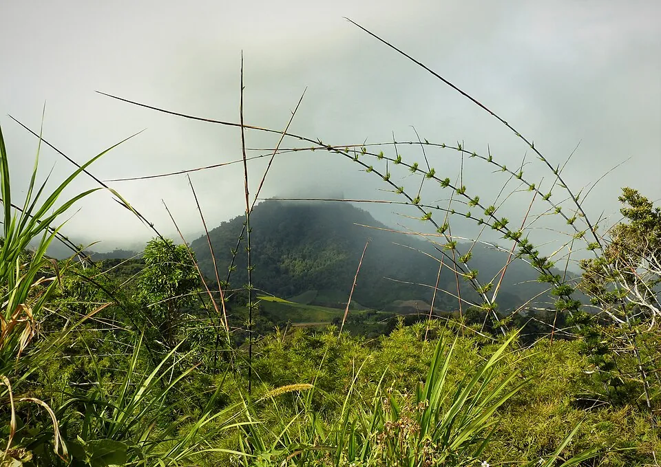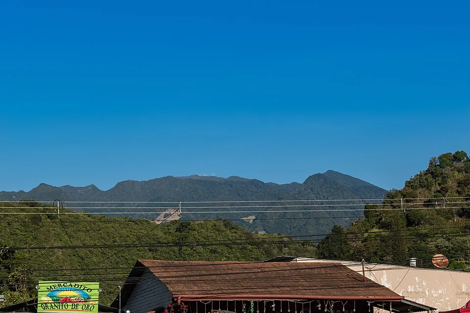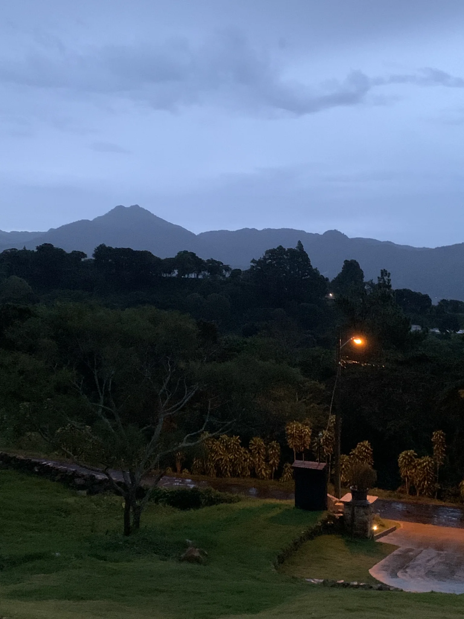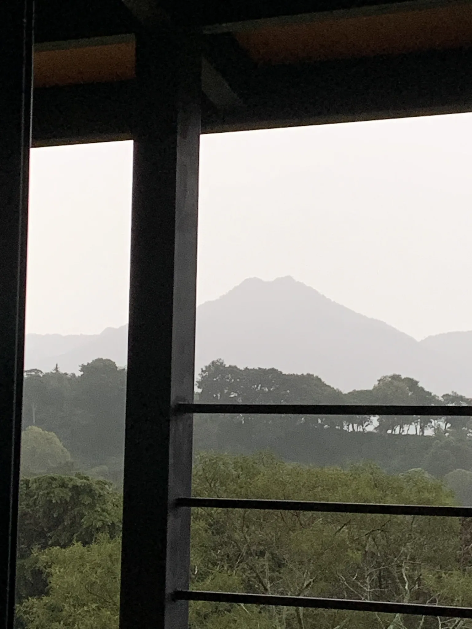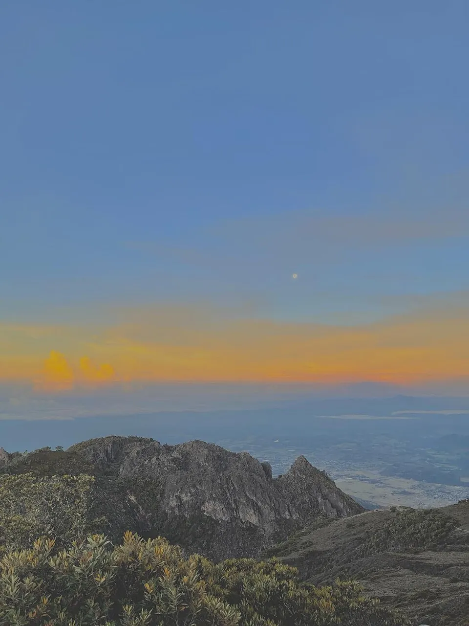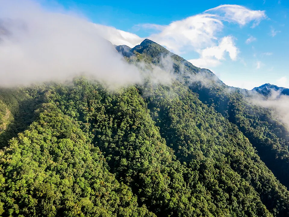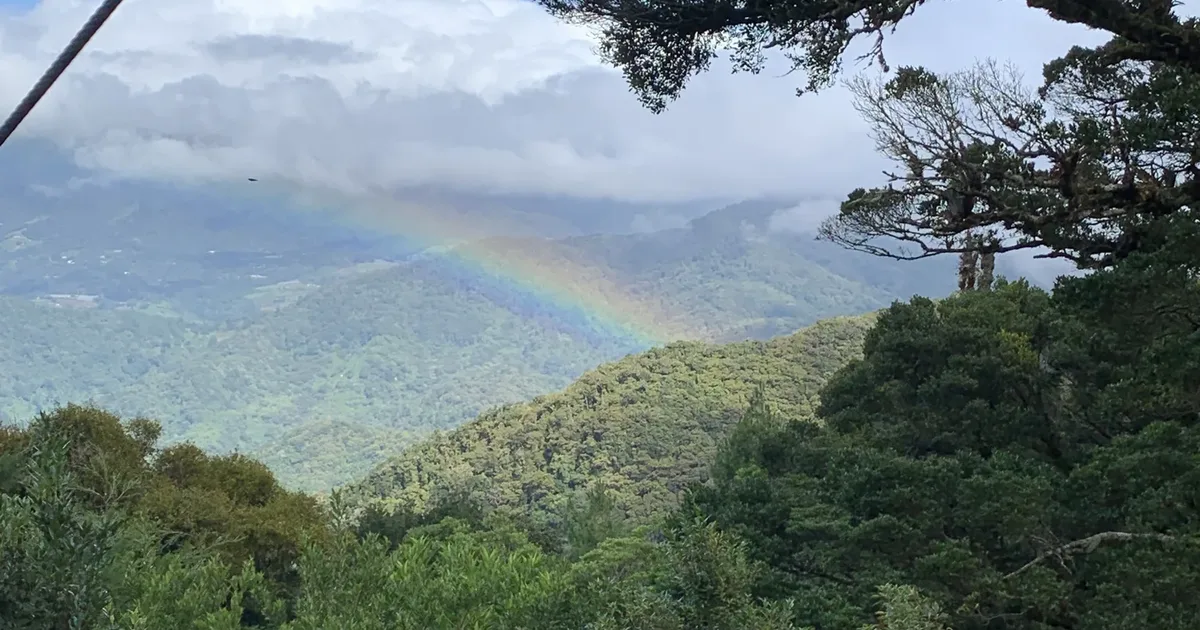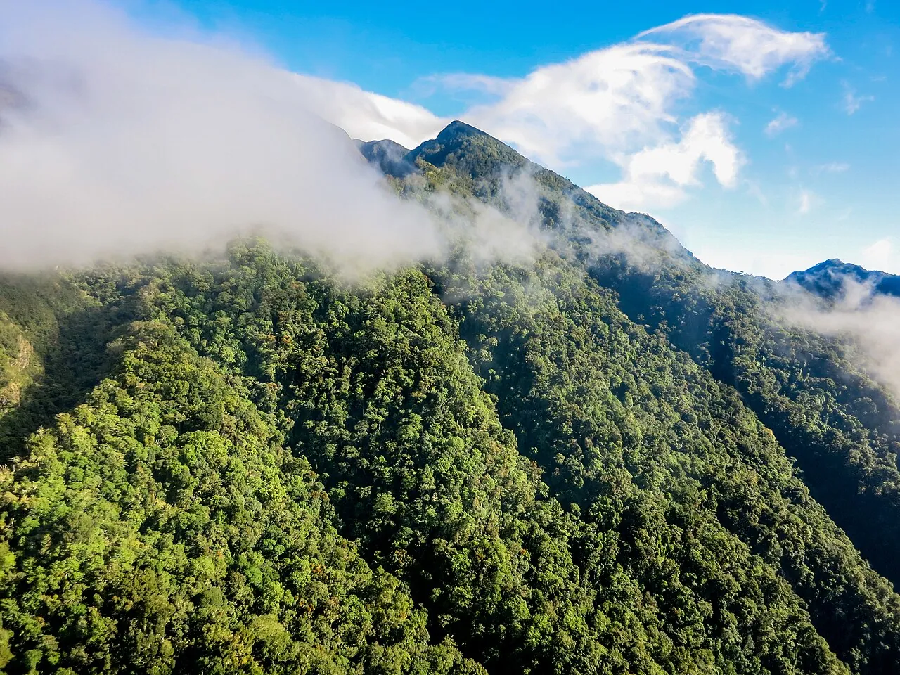
Volcán Barú is a potentially active volcano that is not erupting. Its last known eruption was around 1550, and recent park closures have been caused by wind, mud and trail work, not volcanic activity.[1] At 3,475 m it is the highest mountain in Panama, and it sits inside Volcán Barú National Park. Non-resident foreigners usually pay $5 to enter, and nobody may start toward the summit after 1:00 p.m.
Volcán Barú rises over the Chiriquí highlands between Boquete and the town of Volcán. Before planning a trip, most people want to know two things: is it going to erupt, and can they climb it during their stay. This page covers the park itself: the volcano's status, its official height, what Volcán Barú National Park charges, its hours and guide rules, and how to reach the entrance.
The climb itself is covered in our Volcán Barú sunrise hike guide, which explains the night start, pacing and the real odds of seeing both oceans.
Is Volcán Barú active? What the monitoring says
Volcán Barú is classed as potentially active. It has erupted in the geologically recent past and could erupt again, but it is not erupting now, and no eruption warning has been published for it in 2025 or 2026. Both the University of Panama's Instituto de Geociencias and the US Geological Survey put it in this category.[2]
Its last known eruption happened around 1550, give or take about ten years. That date comes from a USGS volcano-hazards study by Sherrod and colleagues (Open-File Report 2007-1401).[1] Geologists generally call a volcano active if it has erupted within the last 10,000 years. A 2022 TVN report described Barú as the Panamanian volcano most likely to erupt in the future.[3]
How the volcano is monitored
Geologists at the Instituto de Geociencias track seismic events at Barú to measure how active it is. Panama has no color-coded volcanic alert system like the ones in Costa Rica or Guatemala.[2] That means there is no alert level to look up before a trip. In practice, the access notices from MiAmbiente, the environment ministry that runs the park, are what tell you whether the trails are open.
What has actually closed the park
Every recent closure has been about weather, events or maintenance:
- June 2024: the ascent and descent at La Cruz were restricted for 45 days while about 300 meters of rocky path were rebuilt.[4]
- Late 2025: winds over 50 km/h and mud on the Camiseta trail closed access. All trails reopened on November 30, 2025.[5]
- May 8–9, 2026: the Camiseta route from Boquete was closed to walkers and 4×4 tours for the Ultra Panamá Trail Series. The Tierras Altas entrances stayed open.[6][7]
The real risks on Barú are cold, exhaustion and falls on loose ground, not the volcano. They are covered in the safety section below.
Park facts: the highest mountain in Panama, location and name
The official summit height is 3,475 meters above sea level, which makes Barú the highest point in Panama. That figure appears in the park's management plan in the Gaceta Oficial.[8] You will also see 3,474 m and 3,478 m online. The government figure is 3,475 m.
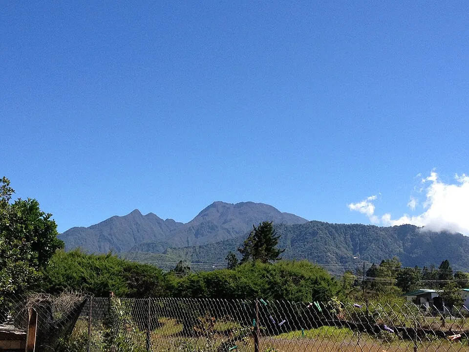
The next-highest peaks are all in the western highlands: Cerro Fábrega (3,376 m), Cerro Itamud (3,279 m), Cerro Echandí (3,163 m) and Cerro Picacho (2,974 m).[9] At the top of Barú is a main crater surrounded by six secondary craters.[8]
Where the park is
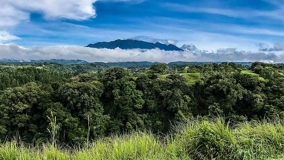
The park covers the volcano's massif in Chiriquí Province. Boquete is on the eastern side and Volcán and Cerro Punta are on the western side. Boquete sits at about 1,130 meters, so climbers from town still have roughly 2,300 vertical meters to go.[8] Both sides are reached from the Interamericana highway through David. The southern road between Boquete and Volcán has no public transport.[8]
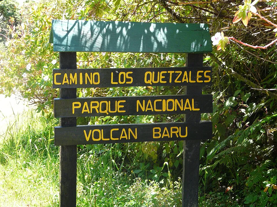
Volcán Barú National Park was created by Executive Decree No. 40 of June 24, 1976. The decree was amended in 2003.[10] The protected area covers about 14,000 hectares.[11] On the way up, the trails pass through cloud forest, páramo and bare volcanic sand. The humid oak woodland on the western route is home to quetzals.[12]
The name
The name is shared with the town on the western flank. Volcán was created as a district in 1924 under the name Barú, and the name was later changed to Volcán.[13] Today "Volcán" refers to the town and "Barú" to the mountain. Keep that in mind when you read directions, because "the Volcán route" means the trail that starts from the town of Volcán.
Volcán Barú National Park entry fee, hours and permits
As of November 2026, entry generally costs $5 for non-resident foreigners and $3 for Panamanians and resident foreigners, and children under 12 enter free. MiAmbiente announced increases to $7 and $4 in February 2022, then suspended them before they took effect on March 1, 2022.[14] No later rate change has been published. The $5 and $3 figures are the ones still quoted for Barú, so expect those, but do not be surprised if you see the higher figure on an official page.[15]
| Visitor | Rate generally charged (2026) | 2022 announced rate (suspended) |
|---|---|---|
| Non-resident foreigners | $5 | $7 |
| Panamanians and resident foreigners, over 12 | $3 | $4 |
| Retirees, pensioners and seniors | $1.50 | $2 |
| Children under 12 | Free | Free |
Per person, per visit. Rates as of November 2026. Panama's balboa (B/.) is pegged one to one with the US dollar.
Under the 2022 announcement, children under 12 do not pay, and retirees and seniors pay the reduced rate.[16] Since August 2024, the fee has been paid online at the MiAmbiente website, under "Pagos de admisión de áreas protegidas," with Clave, Visa or Mastercard. You receive an electronic receipt. The old system of paying cash at Banco Nacional counters has been replaced.[17]
Registration: what the park asks for
Barú is not a walk-up park. You register before the visit, and rangers check you in at the gate.[18] MiAmbiente has asked visitors to request access at least 72 hours ahead. The request includes the visit date, each visitor's name, nationality and age, a contact number and, if you drive, the vehicle plate.[16]
Register on the MiAmbiente platform 72 h ahead
Prior registration on the ministry's web platform is required. Rangers have turned away visitors who skipped it or tried an unauthorized route.
Pay the entry fee online 5 min
Pay through the protected-areas admission tab and keep the electronic receipt on your phone.
Register your guide Volcán side
On the Paso Ancho and Los Llanos route, a certified guide must be booked and registered as part of the reservation.
Sign in at the control post On the day
Check in in person at the ranger post: Camiseta on the Boquete side, or Los Llanos and Paso Ancho on the Tierras Altas side.
Prior registration on the web platform is mandatory, and in November 2025 rangers at Los Llanos turned back a group trying an unauthorized route without an expert guide.[19] In another case reported by Telemetro, MiAmbiente found 12 hikers inside the park without registration.[18]
Opening hours and the 1:00 p.m. summit cutoff
The published entry window runs from early morning until 1:00 p.m. After 1:00 p.m., no visitor may head for the summit on any trail.[20] The opening time has varied between notices: 5:00 a.m. in one, 4:30 a.m. in the 2021 reopening rules, and 4:00 a.m. at Paso Ancho in 2023.[21][22]
There is a gap between these rules and what most hikers do. The standard Boquete sunrise climb leaves between 11:00 p.m. and 1:00 a.m., and 4×4 tours usually leave between 3:00 and 4:00 a.m.[23] No published rule bans night ascents, but none authorizes them either. When you register, ask how night departures from the Camiseta booth are being handled that season, and follow what the rangers tell you.
The park caps the number of visitors per day, and the cap has changed over time. In 2021 it was 75 hikers and 15 vehicles at Camiseta and 35 at Los Llanos. Los Llanos later allowed up to 120 a day. On busy weekends and holidays, register early.
The 2021 caps come from the reopening rules, and the 120-a-day figure for Los Llanos comes from a 2022 notice.[21][24] A Volcán-based operator describes the Paso Ancho post as allowing about 70 people a day in recent seasons.[25]
Do you need a guide? Routes and park rules
You need a certified guide on the Volcán side (Paso Ancho and Los Llanos), because MiAmbiente requires one there. On the Boquete side, a guide is strongly recommended but not formally required, as of 2026. The official wording for the Paso Ancho route is that it must be done with a certified guide and in good health.
| Route | Distance one way | Time up | Guide | Typical cost | Best for |
|---|---|---|---|---|---|
| Boquete side on foot, from the Camiseta booth | 13.5 km | 5–8 h, usually a night start | Recommended | $5 entry, $15–20 taxi, guide $60–100 per group | Most common |
| Boquete side by 4×4 tour | 13.5 km by road | About 1 h from the booth | Included | $125–175 per person | Sunrise without the climb |
| Volcán side, Paso Ancho and Los Llanos | About 7.3 km | About 7 h with rests | Mandatory | $5 entry plus guide fee | Varied ecosystems, built steps, fewer vehicles |
Prices as of November 2026. The guide fee on the Volcán side is set by the guide or agency, so ask in Volcán.
The Boquete route
From the Camiseta booth, the route follows about 13.5 km of compacted dirt service road to the summit. The road climbs steadily, is firm in the dry season and muddy but passable in the rainy season.[23] Boquete agencies sell certified guides for about $60–100 per group of four to six.[23] Most hikers take 5 to 8 hours to climb, and the full round trip usually takes 10 to 13 hours.
The 4×4 tours use specially modified vehicles and reach the summit in about an hour from the booth. Published prices range from $125 to $175 per person.[23] Online listings start at $155 for a 7-hour trip with breakfast and pickup, and $172 for an 8-hour sunrise trip.[26] Some operators quote $110–120 plus the 7% ITBMS sales tax.[27]
The Volcán (Paso Ancho and Los Llanos) route
The western route is shorter but steeper. It is about 7.3 km each way and takes around seven hours up, including rests.[12] MiAmbiente has added three rest areas, hundreds of steps with railings, interpretive signs and camping platforms at the crater and at Los Fogones.[12] Hikers must stay with their guide for the whole route.[25] Some groups climb from Volcán and come down the Boquete side by 4×4. That crossing takes planning, because the two towns are about two hours apart by road.
Park rules at a glance
- Registration
- Required for every visitor through the MiAmbiente platform, plus an in-person check-in at the control post.
- Certified guide
- Mandatory on the Paso Ancho and Los Llanos route. Recommended on the Boquete road, especially for a night ascent.
- Summit cutoff
- No one may start toward the summit after 1:00 p.m., on any trail.
- Authorized routes only
- Rangers turn back people using unofficial entrances. Use Camiseta, Los Llanos, Paso Ancho or the other Tierras Altas posts.
- Vehicles
- Only authorized tour operators drive 4×4s up the Camiseta road, and only within the daily vehicle limit.
- Camping
- Platforms exist at the crater and at Los Fogones. If you plan to stay overnight, say so when you register.
If you are still choosing between Barú and the gentler trails around town, our comparison of the best hikes in Boquete sets the summit against the Lost Waterfalls, the Pipeline Trail and others, comparing distance, elevation and fees.
Is Volcán Barú safe to hike in 2026?
Yes, for fit hikers who prepare, but the mountain sends people home in rescue stretchers every season, and the causes are cold, exhaustion and injury, not the volcano. In February 2025, MiAmbiente rescued a couple suffering from exhaustion and hypothermia on the Boquete-side route to the summit.[28]
On January 19, 2026, rangers at Los Llanos raised the alarm at about 5:15 p.m. A visitor on the Tierras Altas side had injuries to both legs and the hip. Twenty-seven rescuers, including firefighters and two volunteer groups, climbed to the Los Pozos sector, lowered him on rope systems and brought him out at 11:52 p.m.[29] No new access rules followed the rescue. SINAPROC repeated its standard advice: check your fitness and health honestly, wear proper clothing, stay hydrated and follow guides and rangers.[29]
Over the holiday season, SINAPROC runs a preventive deployment called Operativo Guardianes, which covered the access areas to Barú, Tierras Altas and Boquete from December 25, 2025.[30] Firefighters advise planning your route, telling someone your itinerary and keeping your phone charged. For emergencies, call 911 or 103.[31]
Many rescues involve hikers who kept climbing after they started to feel unwell. If you are shivering hard, dizzy or out of energy, turn around, because the descent on loose rock takes a lot out of tired legs.
Access from Boquete: distance and transport to the park entrance
The Boquete entrance is the Camiseta ranger booth, about 7 km northwest of central Boquete on the road toward Volcancito. Most hikers get there by taxi, which costs about $15–20 one way as of 2026.[23] Agree on the return fare before you set off, and arrange the pickup in advance, because the booth is not somewhere you can flag down a car.
Beyond the booth, the road to the summit is only for modified 4×4s run by authorized operators. Some highland access roads need a 4×4 even below the park.[32] If you are driving a rental car to the gate, ask your lodging about the condition of the final stretch first, especially in the rainy season.
For the Volcán side, you start from Volcán town, on the western road out of David. Plan to sleep in Volcán the night before, since you need to be at the Los Llanos post around 6:00 a.m. and there is no public transport across from Boquete on the southern road.[12] If you are basing yourself on the Boquete side, our guide to where to stay in Boquete compares Bajo Boquete, Jaramillo and Volcancito, which is the area closest to the Camiseta booth.
Getting to Boquete in the first place
Boquete is about 323 km from Panama City, roughly seven hours by shared shuttle.[33] By public bus, the Albrook terminal to David takes about eight hours for around $20, with departures every 45 minutes between 6:45 a.m. and 8:00 p.m. A David–Boquete bus then costs about $2 and takes around an hour.[34] Our Panama City to Boquete transport guide compares the bus with flying to David and driving.
Weather, altitude and what to pack for the summit
The summit is far colder than Boquete, and the best chance of clear skies is the dry season from mid-December to April. The rainy season runs from May to mid-December.[35] In the highlands it rains a lot even in an average year. Stations around the massif recorded between about 4,000 and 5,400 mm of rain in 2007, and the wettest months there were May, August and September.[36]
Month by month, our guide to the best time to visit Boquete covers the bajareque mist, the green-season afternoons and when the drier weather settles in.
How cold it gets
Temperature in Panama drops about 0.56 °C for every 100 meters you climb.[37] Between Boquete (1,130 m) and the summit (3,475 m), that works out to roughly 13 °C colder than town at the same moment. The western highlands around Volcán stay between about 15 and 22 °C all year.[38] Overnight at the summit camp, temperatures have been close to 5 °C, and heavy rain can arrive at the top even after a dry climb.[12]
Wind makes it feel colder still. Northeast winds usually dominate, which leaves the southwest flank in the volcano's lee.[8] Gusts over 50 km/h have closed the park.[5] Clouds often build soon after sunrise, so the two-ocean view goes to whoever is on top at dawn on a clear day.
Altitude
At 3,475 m, the air is noticeably thinner. Some hikers get headaches or run short of breath on the upper switchbacks, even if they are fit at sea level. Spending a few days in Boquete beforehand and keeping a slow, steady pace helps more than pushing hard early.
What to pack
- Layers: a synthetic or wool base layer (not cotton, which stays cold once wet with sweat), a fleece or insulated jacket, and a waterproof, windproof shell.
- Hat and gloves: for the hour before sunrise at the top.
- Broken-in hiking boots and trekking poles: the loose gravel and rock are hardest on the way down.
- Headlamp with spare batteries: for any pre-dawn start.
- Water and food: at least 2 liters per person and high-calorie snacks. On the Los Llanos route you can refill water about halfway.
- Sunscreen: once the clouds clear, the high-altitude sun burns quickly.
- Sleeping bag: only if you have registered to camp at the crater or at Los Fogones.
- Phone, charged, plus your registration and fee receipt.
Pay the entry fee online before you leave Boquete and keep the receipt on your phone. Mobile signal on the upper mountain is unreliable, so do not plan to sort out paperwork at the gate.
Where to go next: the sunrise hike and other Boquete trips
A summit attempt takes a full night and most of the next day, and your legs will probably need another day to recover. It fits comfortably into a stay of three nights or more. If you only have one or two days in Boquete, a 4×4 sunrise tour or a lower trail is usually the better choice.
- Climbing on foot: the Volcán Barú sunrise hike guide covers the 13.5 km road section by section, pacing, the night start and the honest odds of a two-ocean view.
- Reading in Spanish: our Spanish guide to climbing Volcán Barú compares both routes, the night ascent and what to wear for the cold.
- Planning the whole stay: Boquete in 3 days puts the Barú or Lost Waterfalls day at the end, after coffee farms and the hot springs.
- Recovering afterwards: the geothermal pools at Caldera hot springs, about 25 minutes from town, are a common choice the day after a summit.
- Other options: the list of 33 things to do in Boquete covers farms, trails, rafting and gardens, with prices and times.
Before you go
Is Volcán Barú active?
It is classed as potentially active, not erupting. Its last known eruption was around 1550, and Panama's Instituto de Geociencias and the USGS both list it as capable of erupting again. No eruption warning has been issued in 2025 or 2026, and recent park closures were caused by wind, mud, a trail race and trail work.
When did Volcán Barú last erupt?
Around the year 1550, give or take about ten years. The date comes from a USGS volcano-hazards study published in 2008. There have been no eruptions in recorded modern history.
What is the highest mountain in Panama?
Volcán Barú, at 3,475 meters (about 11,400 feet). It is in Chiriquí Province between Boquete and Volcán. The next-highest peaks are Cerro Fábrega at 3,376 m and Cerro Itamud at 3,279 m.
How much does it cost to enter Volcán Barú National Park?
Usually $5 for non-resident foreigners and $3 for Panamanians and residents, and children under 12 enter free. An increase to $7 and $4 was announced in 2022 and then suspended. You pay online on the MiAmbiente website before your visit.
Do I need a guide to climb Volcán Barú?
On the Volcán side (Paso Ancho and Los Llanos), yes, a certified guide is mandatory. On the Boquete road a guide is recommended but not formally required. Boquete agencies charge about $60–100 per group. Every visitor must register with MiAmbiente in advance, whichever route they take.
How hard is Volcán Barú?
It is a long, steep endurance hike, not a technical climb. The Boquete route is 13.5 km of rough road each way and usually takes 10 to 13 hours round trip. The cold, the altitude and the loose descent cause most of the trouble. The sunrise hike guide breaks it down section by section.
Where in Panama can you see both oceans?
From the summit of Volcán Barú on a clear morning. At sunrise you may see the Pacific and the Caribbean at the same time. Clouds often roll in soon after dawn, so many hikers see only one side or none.
Can I start hiking Volcán Barú before sunrise?
Published park hours start between 4:00 and 5:00 a.m., and no one may head for the summit after 1:00 p.m. Most Boquete sunrise hikers still leave between 11:00 p.m. and 1:00 a.m. Ask how night departures are being handled when you register.
How far is Volcán Barú from Boquete?
The Camiseta park entrance is about 7 km from central Boquete, and a taxi costs around $15–20 one way. From the booth, the summit is another 13.5 km up the service road. Modified 4×4 tours cover that stretch in about an hour.
How long is the drive from Boquete to Panama City?
About 323 km, roughly seven hours by shared shuttle. By public bus it is about eight hours from Albrook to David plus an hour to Boquete. Our Panama City to Boquete guide compares the bus, flights and driving.
Sources
Prices, schedules and rules change. The small numbers in the text point to these sources.
- 1Wikipedia - Volcán Barú (citing USGS Open-File Report 2007-1401)es.wikipedia.org
- 2Panamaspot - ¿El Volcán Barú está activo?panamaspot.com
- 3
- 4
- 5MiAmbiente - Reapertura de todos los senderos del PNVB (30 nov 2025)miambiente.gob.pa
- 6
- 7MiAmbiente - Cierre parcial del camino de Camiseta (página 2)miambiente.gob.pa
- 8
- 9
- 10
- 11Wikipedia - Anexo: Parques nacionales de Panamáes.wikipedia.org
- 12Panorama of the Americas - Barú Volcano ascent articlerevistapanorama.com
- 13
- 14
- 15
- 16
- 17MiAmbiente - Pago en línea de admisión a áreas protegidas (ago 2024)miambiente.gob.pa
- 18
- 19
- 20MiAmbiente - Comunicado sobre horario de acceso al PNVB (era COVID)miambiente.gob.pa
- 21
- 22MiAmbiente - Anuncio de acceso por Paso Ancho al PNVB (2023)miambiente.gob.pa
- 23Panamaspot - Volcán Barú 2026: subida, guías y preciospanamaspot.com
- 24MiAmbiente - Autorización de 220 turistas diarios al PNVB (2022)miambiente.gob.pa
- 25Detour Panamá - Ascenso al Volcán Barúdetourpanama.com
- 26GetYourGuide - Tours 4x4 al Parque Nacional Volcán Barú (2026)getyourguide.com
- 27Viajacongus - Volcán Barú: qué hacer y cómo llegarviajacongus.com
- 28
- 29
- 30SINAPROC - Operativo Guardianes 2026 en Chiriquísinaproc.gob.pa
- 31
- 32Viajacongus - Boquete: qué hacer y cómo llegarviajacongus.com
- 33
- 34Panaporte - Guía de viaje a Boquetepanaporte.com
- 35
- 36
- 37MiAmbiente - Cuarta Comunicación Nacional sobre Cambio Climáticotransparencia-climatica.miambiente.gob.pa
- 38
Image credits
- Volcan Baru up close and cloudedFranHogan · CC BY-SA 4.0
- Volcán Barú desde VolcánRkool007 · CC BY-SA 3.0
- Volcan Baru in a cloud shroudFranHogan · CC BY-SA 4.0
- Volcan Baru - Flickr - gailhampshiregailhampshire from Cradley, Malvern, U.K · CC BY 2.0
- Vulkan Baru Boquete (27238202851)dronepicr · CC BY 2.0
- Volcán-barú-panama-at-sunriseMega mind01 · CC BY-SA 4.0