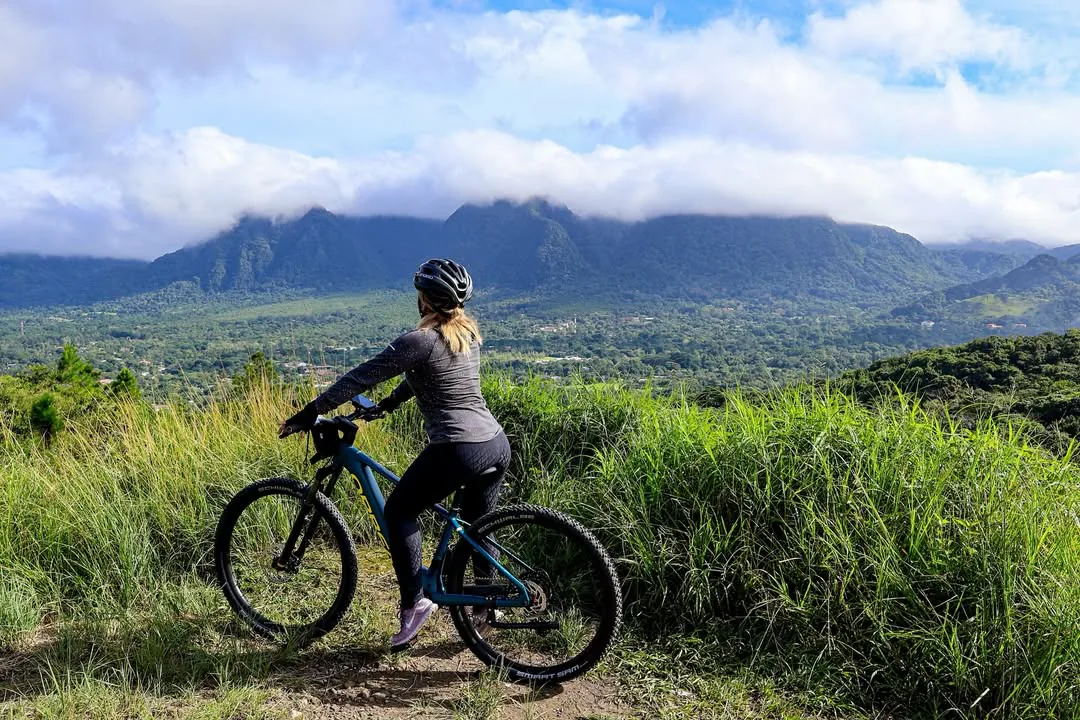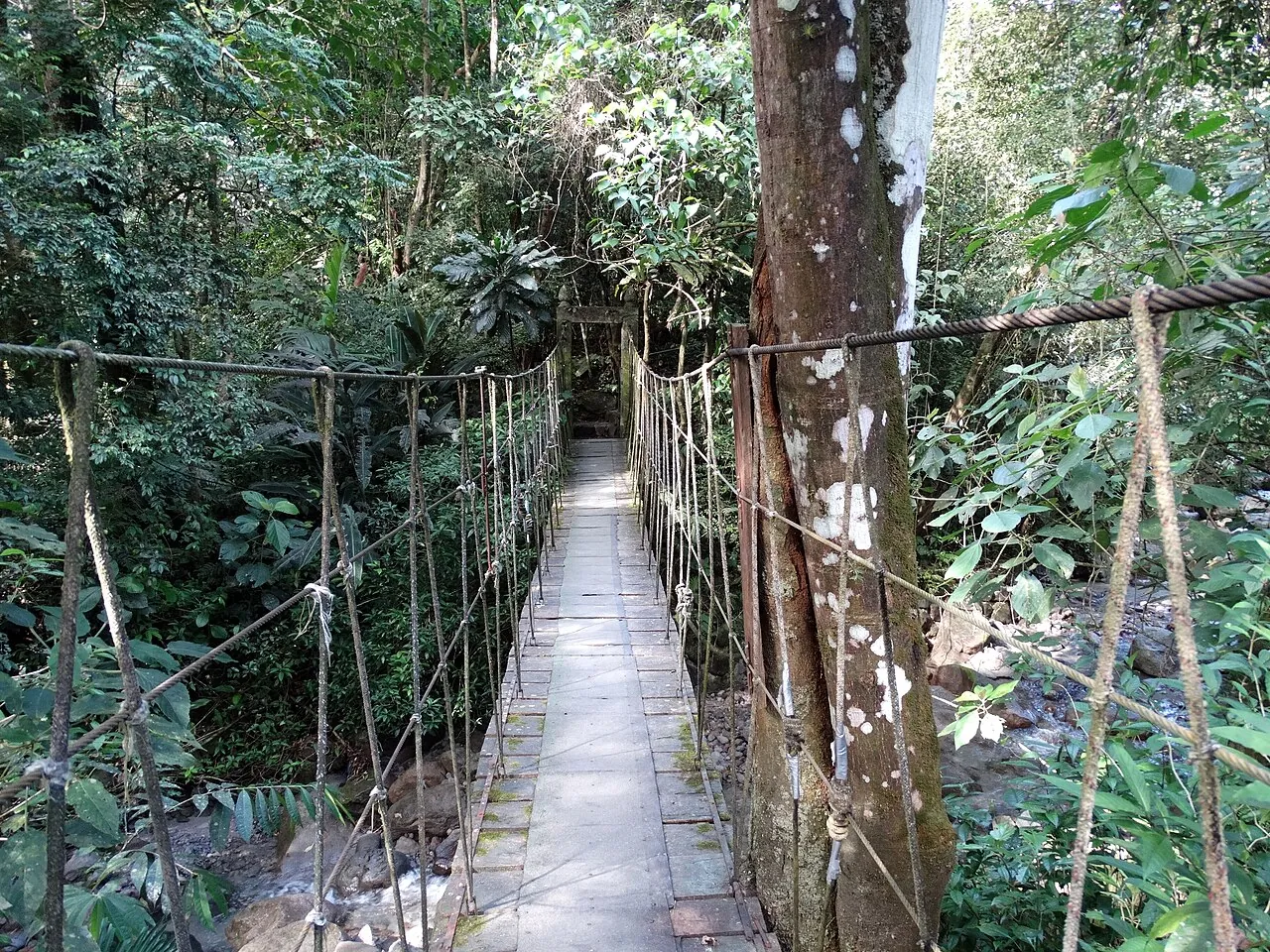
The easiest way to start hiking in Panama is in El Valle de Antón, a town inside a volcanic crater about two hours by direct bus from Panama City, where India Dormida, Cerro Gaital and several waterfall walks begin a short walk or taxi ride from the center. The bigger mountain hikes are further west: the Lost Waterfalls and Sendero Los Quetzales around Boquete, and the overnight climb up Volcán Barú. Short rainforest trails in Metropolitan Natural Park and on Pipeline Road are the closest options to the capital.
Most hiking in Panama happens in three places: the forested edges of Panama City, the El Valle de Antón crater west of the capital, and the Chiriquí highlands around Boquete and Volcán Barú. The further west you go, the higher, longer and colder the trails get, and the longer the trip to reach them.
Trail details go stale quickly. Fees change, parks close after storms, and the Barú summit route is quoted as both 13 km and 27 km depending on whether someone means one way or round trip. Every figure below is dated November 2026, and where published figures disagree, you get the range. This page covers Panama City, Panama. Search results for "hikes near Panama City" often mix in trails from Panama City, Florida.
Best hikes in Panama, ranked by travel time from the capital
The best hikes in Panama for a short trip are India Dormida in El Valle for a first mountain day, Pipeline Road and Metropolitan Natural Park if you only have a morning in the city, and Volcán Barú if you have time to get to Boquete and want a real summit. The table runs from closest to furthest from Panama City.
| Hike | From Panama City | Length and time | Difficulty | Entry (2026) | Best for |
|---|---|---|---|---|---|
| Metropolitan Natural Park (Cerro Cedro lookout) | Inside the city | Short loops, open 7:00 to 4:30 | Easy to moderate | About $5 foreign adults | City and canal views before lunch |
| Cerro Ancón | Inside the city | Roughly 2-3 km round trip | Easy, steep in parts | No fee listed | Sloths and toucans at 8 a.m. |
| Pipeline Road, Soberanía National Park | Short drive north | Walk as far as you like, 6:30 to 4:00 | Easy | Register at park HQ | Birding and rainforest wildlife |
| Altos de Campana | 40 min to 1 h 15 by car | Steep jungle trails, ropes in places | Hard | Check status, closed early 2026 | Technical jungle hiking near the city |
| Cerro La Silla, El Valle | About 2 h | About 4 km | Easy | Check on arrival | Beginners and sunrise |
| India Dormida, El Valle | About 2 h | About 2 h up and back | Moderate | $2-3 | Best first hike |
| El Macho and Las Mozas falls, El Valle | About 2 h | Short walks from town | Easy | A few dollars each | Families and hot afternoons |
| Cerro Gaital, El Valle | About 2 h plus taxi | 8-10 km, 5-7 h | Hard | $2-5, guide $40-60 | Fit hikers with a guide |
| Lost Waterfalls, Boquete | Overnight bus or flight via David | 3.2-6 km, 2.5-3.5 h | Moderate, slippery | $7-10 | Three waterfalls in one hike |
| Pipeline Trail, Boquete | Overnight bus or flight via David | About 2 h | Easy | Check on arrival | Quetzal spotting on an easy walk |
| Sendero Los Quetzales | Overnight bus or flight via David | 8-10 km one way | Moderate | National park fee | Cloud forest and quetzals |
| Volcán Barú summit | Overnight bus or flight via David | About 27 km round trip, 8-12 h | Very hard | B/7 foreigners (2022 rate) | Sunrise and two-ocean views |
Entry fees per foreign adult as of November 2026. Travel times by bus or car from Panama City. Fees in El Valle and Boquete are paid in cash.
If you have one free day from the capital, El Valle gives you a proper ridge hike with views and a bus home the same afternoon. Boquete and Barú need at least two nights to be worth the trip: the travel alone takes most of a day each way.
Why El Valle is the easiest start for hiking from Panama City
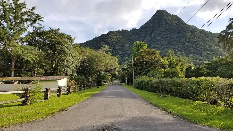
El Valle de Antón is the closest real mountain hiking to Panama City. It has direct buses from Albrook, a crater full of trails, and trailheads close enough to the center that you can walk to some and take a taxi to the rest. No other hiking area in the country lets you leave the capital after breakfast and be on a ridge before noon.
Direct buses leave from Plataforma 48 at the Albrook bus terminal.[1] The first departs around 6:30 a.m. and the last around 6:30 to 7:00 p.m., about every 30 minutes at peak times and hourly in the middle of the day.[2] The one-way fare is $4.25 or $5 depending on the source, cash only, paid at the window or to the driver.[1][2]
The ride takes 1 hour 45 minutes to 2 hours 30 minutes on a clear road, and around 3 hours at rush hour.[2][3] By car, the trip is a little over two hours.[4] The catch for day-trippers is the return. The last direct bus from El Valle back to Albrook leaves around 3:00 to 3:30 p.m. After that, you take a local bus down to Las Uvas or San Carlos on the Interamericana and connect there, which costs $3 to $6 in total and works until about 7 or 8 p.m.[2]
A realistic hiking day by bus
A bus day trip works if you pick one main hike and keep the waterfall stop optional. For the full hour-by-hour version, including where to eat, see the El Valle day trip from Panama City guide.
With a night in El Valle, you can add Cerro Gaital or a sunrise on Cerro La Silla. The seven main trails are compared side by side in the best hikes in El Valle guide.
India Dormida and the crater trails
India Dormida is El Valle's signature hike and the best first trail for most visitors. It starts at the Piedra Pintada petroglyphs, passes small waterfalls, and climbs to a ridge above the crater whose outline gives the hike its name: a woman lying asleep. The petroglyphs are a few minutes from town in the barrio of La Pintada.[5]
Most hikers take about two hours up and back. You can also make a longer circuit that links La Cruz, India Dormida and Piedra Pintada instead of returning the way you came.
Entry fee, hours and guides
You pay in cash at a booth at the start of the trail, and there is no card terminal.[6][7] Published rates disagree: $2 per person in one 2026 guide, $2 for Panamanian adults and $3 for foreigners in another, and a flat $3 "from October 2026" on AllTrails.[6][7][8] Bring $3 in small bills and you are covered.
The trail is open daily from 8:00 a.m. to 5:00 p.m.[7] A guide is not required. The trail does fork in several places, though, and first-timers often take a wrong branch, so a local guide from the Cooperativa Sendero La Piedra Pintada is worth considering.[7] The guides waiting at the entrance work for tips, usually $3 to $5 per person if you only want the petroglyphs explained.[6]
The India Dormida hike guide covers the trailhead directions, the forks and sunrise timing in detail.
Cerro La Silla for beginners
Cerro La Silla is the easiest summit around the crater. It is a wide trail of about 4 km with no scrambling, and the trailhead is across from a bus stop about five minutes by taxi from town, back toward Panama City. It is a popular sunrise hike because the top opens up in every direction and the climb is short enough to do in the dark with a headlamp.
Cerro Gaital and Cerro Cara Iguana for experienced hikers
Cerro Gaital is El Valle's hardest regular hike and is not a beginner trail. The route runs about 8 to 10 km round trip from the village, with roughly 585 m of climbing, and takes 5 to 7 hours.[9] Expect very steep rock sections in dense forest that suit only experienced hikers in good condition.[10]
The mountain is protected as the Monumento Natural Cerro Gaital. Its public-use plan recommends going with an experienced guide who knows the trails, and advises against hiking in rainy weather because fog cuts visibility.[11] Guides come from the Comité de Guías de El Valle, from tour operators, and from nature guides certified by the tourism authority (ATP) and the environment ministry (MiAmbiente).[11] Local outfits such as Caminando El Valle and Hector Adventura Panamá charge from about $40 to $60 per person for groups of two or more.[9]
The entry fee is listed at $5 for foreigners and $2 for Panamanians in one guide and at $2 in another.[9][12] One listing says the gate opens at 10 a.m. on weekdays, so confirm the opening time the day before if you plan an early start.[12] The access road is about 4 km paved and then 2 km unpaved, and the plan itself says it needs improvement, so most hikers take a taxi.[11]
Few people make the climb. The trail recorded 1,206 visits in all of 2015, with December to April as the busiest months.[13] That means quiet trails, but also little foot traffic to keep the path clear, which is one more reason to go with someone who knows it.
Cerro Cara Iguana
Cerro Cara Iguana is the gentler option: an intermediate ridge walk with views across the crater floor, and the town's hot spring pools sit near its foot. It suits hikers who find India Dormida too easy but do not want a full day on Gaital. Trailhead access, the rope sections and current fees for both mountains are in the Cerro Gaital and Cara Iguana guide.
Waterfall hikes around El Valle
El Valle's waterfall walks are the easy half-day option: short trails from town that end at pools, rather than real climbs. They fit well after a morning on India Dormida, or on a day when clouds cover the ridges.
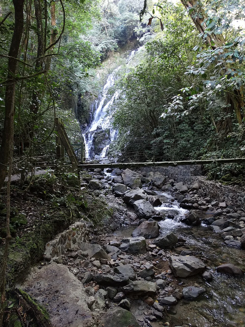
Chorro El Macho is the tall one, a 35-meter fall about a 25-minute walk from town, with one fee for the trail and a separate one if you want to swim in its pool. Chorro Las Mozas is the cheaper choice for swimming, with three small falls and natural pools. Check which one has the access you want before you pay, because the two charge differently. The El Valle waterfalls guide covers fees, swimming safety and seasonal flow.
Waterfall pools rise fast after storms. If it rained hard overnight or upstream, skip the swim and stay on the bank, even if the water looks calm at the edge.
Civil protection authorities issue this warning during heavy rain. In October 2025, SINAPROC told the public that it was not the time to visit rivers or go hiking.[14]
Hikes near Panama City you can do in a morning
The best hikes near Panama City are inside or just outside the capital: Metropolitan Natural Park and Cerro Ancón in the city, Pipeline Road in Soberanía National Park to the north, and the steeper trails of Altos de Campana to the west. None of them is a mountain day like El Valle, but all four fit into a morning.
Metropolitan Natural Park
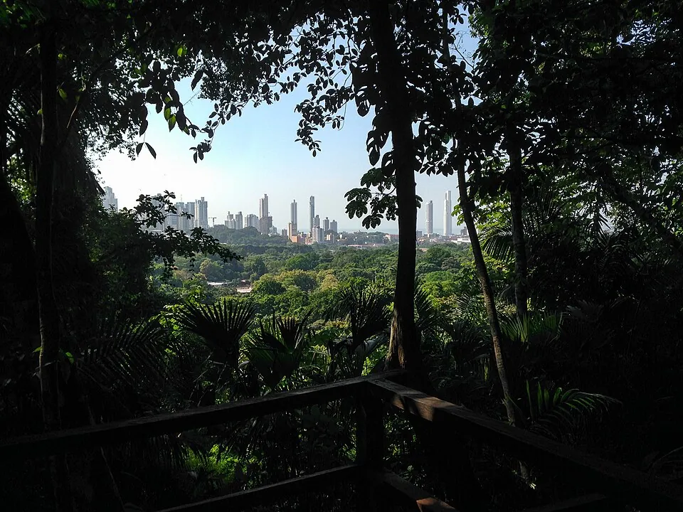
About $57:00 to 4:30Several short trailsAn urban rainforest with a network of short trails. The Camino del Mono Tití climbs to the Cerro Cedro lookout, which has views of the city skyline and the canal.
Cerro Ancón
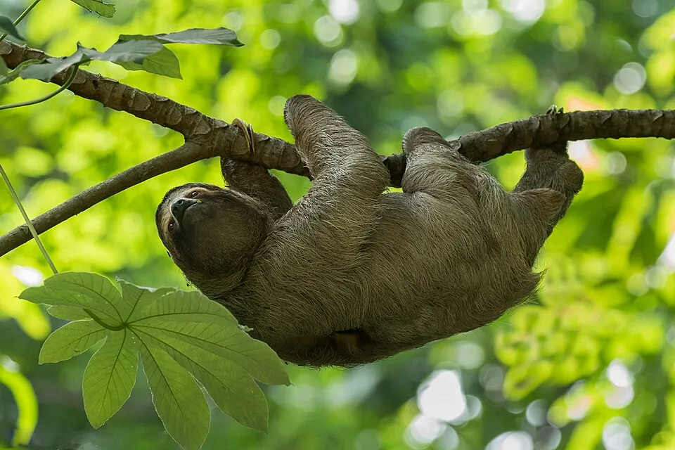
No fee listedRoughly 2-3 km round tripGo by 8 a.m.A short, steep climb close to Casco Viejo, mostly on a paved road, with views of the bay, the bridge and the canal. Start around 8 a.m. to beat the heat and improve your odds of seeing sloths, Geoffroy's tamarins and keel-billed toucans.
Pipeline Road, Soberanía
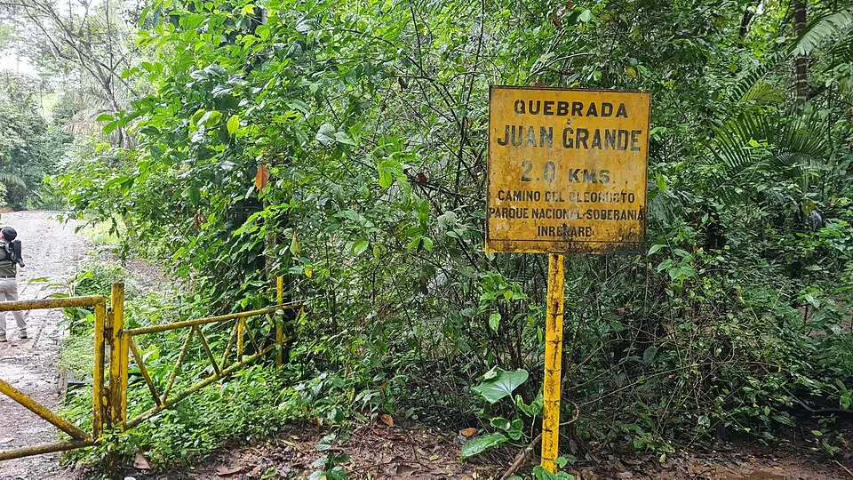
Register at HQ6:30 to 4:00Foot access onlyA world-famous birding trail through lowland rainforest. It is flat enough to walk at bird-watching pace, and you can turn back whenever you like.
Altos de Campana
Check statusAbout 50 km westRopes in placesPanama's first national park, with technical rainforest trails that use ropes and pipes to cross ravines. It is cooler than the city, but it was closed for bad weather in early 2026.
Best for experienced hikers with a carMetropolitan Natural Park
The park's trails are open daily from 7:00 a.m. to 4:30 p.m.[15] A September 2026 post announced a special schedule closing at 4:00 p.m., so arrive well before mid-afternoon.[16] The visitor center, where you pay, is at the end of Avenida Juan Pablo II in Ancón.[17] The trails include El Roble, Los Momótides, Los Guayacanes, Los Caobos, La Cienaguita, the paved Dorothy Wilson trail and the Camino del Mono Tití to the lookouts.[15] Entry runs about $5 for foreign adults and $2 for Panamanian adults.
Pipeline Road (Camino del Oleoducto)
Pipeline Road is open on foot only, from 6:30 a.m. to 4:00 p.m. Cars, motorbikes and bicycles are prohibited.[18] Register at the park headquarters or online when you arrive.[19] Pets and alcohol are not allowed.[20] Heavy rain affects access: in June 2025, MiAmbiente suspended vehicle passage to the trail after a stream flooded and built a temporary footbridge.[21] No current entry fee has been published, so bring cash for registration.
Altos de Campana
The park's 2016 management plan puts it 40 minutes from Panama City.[22] MiAmbiente gives the distance as 50 km, and other estimates run to about 1 hour 15 minutes with traffic.[23] To reach the La Cruz trail, turn off the Panamericana at km 60 and follow the "Loma de Campana" sign to the park parking.[24] In February 2026, MiAmbiente kept visits suspended for adverse weather and said it would announce the reopening on its official channels, so check those before you drive out.[25]
For history rather than views, the Camino de Cruces follows a centuries-old Spanish trade route through the jungle. Expect about five hours under the canopy with no lookouts, usually done with a guide.
Boquete hikes: Lost Waterfalls and Los Quetzales
Boquete is Panama's second big hiking base, and its best-known trails are the Lost Waterfalls, a short, steep loop past three falls, and Sendero Los Quetzales, a cloud-forest trail through Volcán Barú National Park. Getting there from the capital means an overnight bus or a flight to David. The Panama City to Boquete guide compares the options.
Lost Waterfalls (Las Cascadas Perdidas)
The Lost Waterfalls are in Los Naranjos, about 15 to 20 minutes above town. Figures for the trail vary: one 2026 guide describes a 6 km circuit with about 350 m of climbing that takes 2.5 to 3.5 hours, while the tourism board lists 3.2 km.[26][27] The entrance fee is $10 cash in one 2026 guide and about $7 in others, or about $38 with a guide.[26][27][28] Opening hours are 8:00 a.m. to 5:00 p.m., with last entry at 3:00 p.m.[26]
A shared colectivo to Bajo Mono leaves from Calle 1a Sur, opposite the Casa Bruña supermarket, about every 45 to 60 minutes from 7:00 a.m. It costs $2.50 and takes about 20 minutes. From the drop-off, a signposted path crosses a suspension bridge and climbs about 10 minutes to the entry booth.[26]
The trail is on private property, so pay at the booth even if nobody is watching. Wear shoes with real grip: the section between the second and third falls is the hardest part and stays wet all year. Pack swimwear if you want to use the pools.
Pipeline Trail
The Pipeline Trail is the easy Boquete walk, starting in the Bajo Mono area about 4 km from the town center.[28] It takes about two hours, ends at a waterfall, and is one of the better places to look for the resplendent quetzal. Sightings are usually best from about February to May.
Sendero Los Quetzales
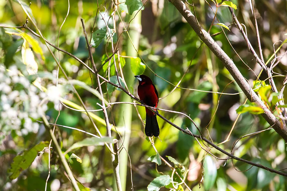
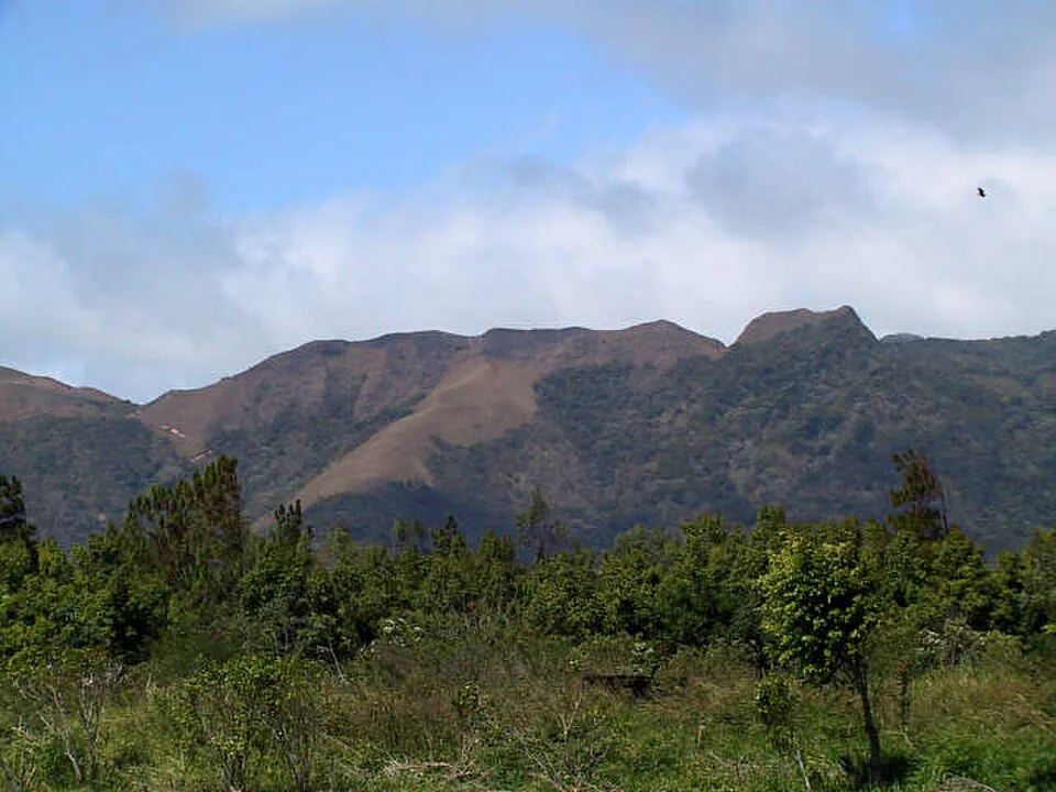
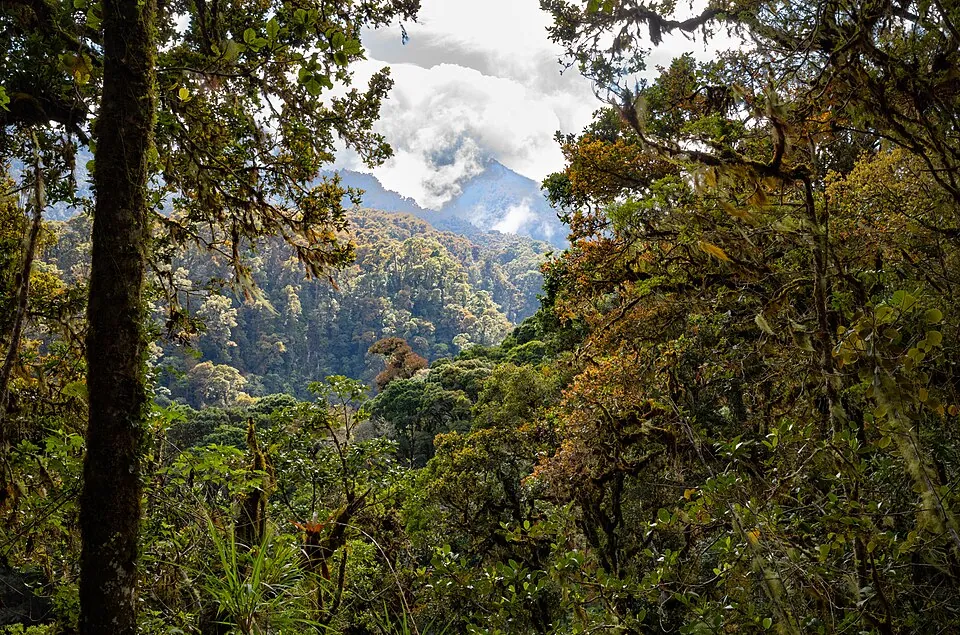
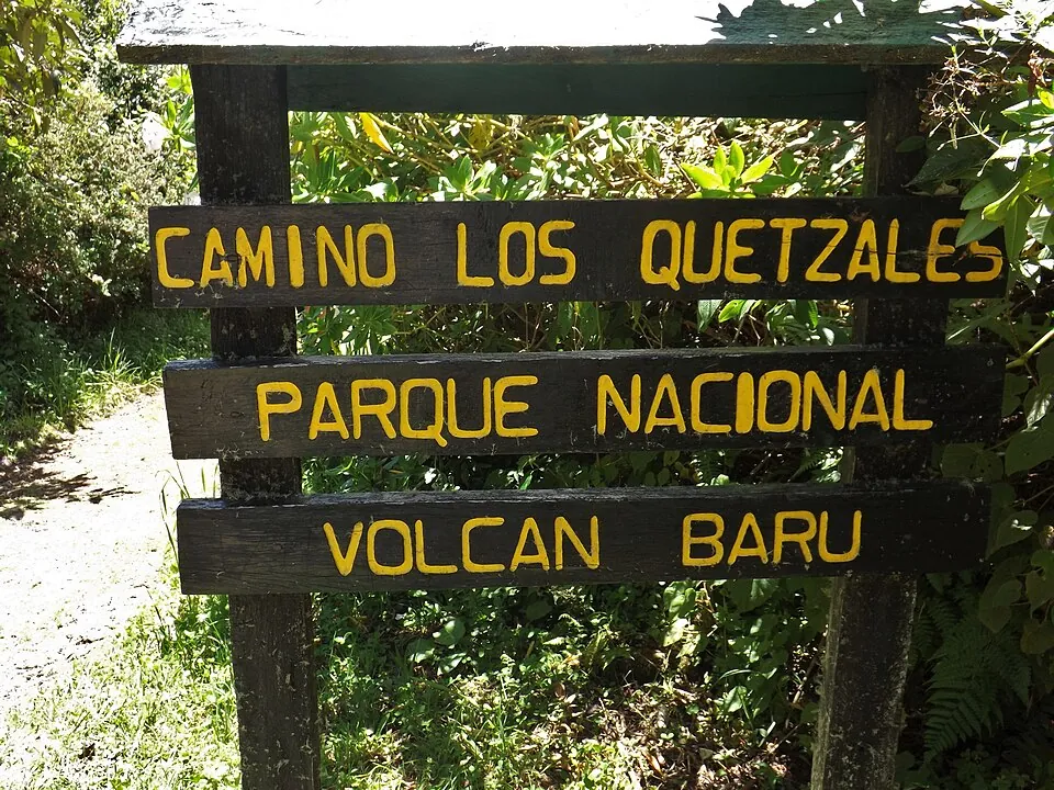
Sendero Los Quetzales crosses Volcán Barú National Park between the Boquete side and Cerro Punta, on a moderate route of about 8 to 10 km. If you walk it one way, arrange transport at the far end before you start. The trail closes in bad weather. In late October 2025, MiAmbiente kept Volcán Barú, Los Quetzales and La Amistad closed because of adverse conditions in the province.[29] Check the status before you plan around it.
El Pianista
El Pianista starts about 4 km out of town and is a 3 to 4 hour out-and-back route with more than 600 m (2,000 feet) of climbing. The trail is less obvious than the Lost Waterfalls, so carry an offline map or hire a guide. Elevation, fees and times for all seven main routes are in the best hikes in Boquete comparison.
Volcán Barú: the sunrise summit
Volcán Barú is the hike to do if you want one big summit in Panama, but it is a long, hard overnight climb rather than a day hike. The summit stands at 3,475 m, the highest point in the country.[30]
Distance, climb and time
From the Camiseta checkpoint above Boquete, the route climbs 12 to 13 km to the top.[31] That makes it about 27 km round trip with more than 2,000 m of climbing: allow 5 to 6 hours up and 3 to 4 hours down.[32] Other estimates put the one-way distance at 13.5 km and the climb at 1,700 to over 2,000 m, depending on where it is measured.[33] There is no proper trail. Hikers follow an old road in poor condition, and a second route reaches the summit from Llanos del Volcán on the other side of the mountain.[30]
The usual plan is to start around midnight with headlamps and reach the top for sunrise. On clear mornings you can see both the Pacific and the Caribbean, but clouds often hide the view, and the summit is cold and windy before dawn. The Volcán Barú sunrise hike guide covers gear, pacing and the realistic odds of a clear view.
Rules at the trailhead
Registration at the Camiseta checkpoint is mandatory before you start the ascent, and rangers recommend going with a certified guide.[31] No published rule makes a guide compulsory for a night ascent. For a first-timer climbing in the dark on a rough road at altitude, a guide is still the sensible choice. On the Paso Ancho side, the trail is open to tourists daily from 4:00 a.m. to 1:00 p.m., and MiAmbiente recommends booking ahead and going with a certified guide.[34]
Under MiAmbiente's 2022 tariff, foreigners pay B/7.00 (balboas trade one-to-one with the US dollar), seniors and retirees pay B/2.00, and children under 12 enter free.[35] The same notice asks for reservations by email to the park at least 72 hours in advance, with names, nationality, ages and any vehicle plate.[35] Travel guides quote anywhere from $5 to $10, so bring cash for the higher figure.[36][37]
The park shuts all its trails when the weather turns. Check MiAmbiente's official channels the day before you climb, and have a backup plan in Boquete.
In November 2025, MiAmbiente temporarily closed every access trail in the park, including Los Quetzales, because of summit winds above 50 km/h and the risk of hypothermia.[38] In May 2026, walkers were barred from the Camiseta road for two days during the Ultra Panamá Trail race, while other park accesses stayed open.[39]
The 4x4 alternative
If you want the summit without the climb, jeeps drive about two hours from Boquete to a plateau just below the top, and you walk the last 10 minutes or so.[32] Sunrise and 4x4 summit tours on GetYourGuide run from about $120 to $172 per person, for example $155 for a 7-hour 4x4 ascent with breakfast and pickup.[40]
Getting to the trailheads and choosing a guide
You can reach most El Valle and Boquete trailheads by public bus or colectivo plus a short taxi ride. A car mainly helps for Altos de Campana and the dirt road to Cerro Gaital. Guides are optional on India Dormida, the waterfalls and the Pipeline trails, and recommended on Cerro Gaital, Volcán Barú and any route you do not know.
From Albrook to the India Dormida trailhead
Find Plataforma 48 at Albrook 15 min
The terminal is huge. Arrive early, follow the platform numbers, and have cash ready for the fare.
Buy your ticket 5 min
Pay $4.25 to $5 in cash at the window or to the driver. Cards are not accepted.
Ride to El Valle 1 h 45 to 3 h
The bus climbs off the Interamericana into the crater. Get off in the center near the market.
Walk or taxi to Piedra Pintada 5-15 min
The petroglyph site and India Dormida trailhead are a few minutes outside town in La Pintada.
Pay at the booth and start 2 h on the trail
Pay the entry in cash. Decide at the booth whether to hire a guide for the forks.
What guides cost
Ask any guide to show their certification from the Autoridad de Turismo de Panamá (ATP). ATP certifies guides, including site guides who show visitors around a single place such as a petroglyph site or a trail.[5]
Suggested tip per person to explain the petroglyphs.
Guided visit including the entry, per person.
Per person, groups of two or more.
Per person on third-party booking sites.
The El Valle bus, the India Dormida booth and the Lost Waterfalls entrance all take cash only. Carry small bills, because change can run short at trail booths early in the morning.
Seasons, weather and trail safety for hiking in Panama
The best months for hiking in Panama are the dry season, roughly December to March, when trails are firmer and high routes have a better chance of clear views.[41] From April to November, start early, expect mud and fog, and check for closures, because MiAmbiente shuts parks when rain or wind make trails dangerous.
Early November is the tail end of the rainy season. Cerro Gaital's busiest months are December to April, which matches the drier weather.[13] Closures are not limited to the rainy season, though. Altos de Campana was still closed for bad weather in February 2026, and Chagres National Park closed on August 30, 2026, when the river rose, then reopened on September 1.[25][42]
- Mud and wet rock
- The Lost Waterfalls, India Dormida and Gaital all have slick sections. Trail shoes with deep lugs matter more than waterproofing.
- Fog on the ridges
- On Gaital and Barú, fog can hide the trail and the view. Turn back if you lose the path rather than guessing.
- Cold at altitude
- Barú's summit sits above 3,400 m. Bring a warm layer, gloves and a rain shell even when Boquete feels mild.
- Registration
- Sign in at Barú's Camiseta checkpoint and at Soberanía's headquarters. It is how rangers know who is still on the mountain.
- Private land
- Some trails, including the Lost Waterfalls, cross private farms. Pay where asked and stay off routes whose owners do not want hikers.
Beyond the weather, the basic rules are simple. Do not hike remote routes alone. Tell someone where you are going and when you expect to be back. Carry an offline map, and turn around at a set time even if the summit looks close. For crime and transport safety beyond the trails, see the guide on whether Panama is safe for tourists.
Afternoon storms are common in the wet months, and several sites stop letting hikers in early: the Lost Waterfalls at 3:00 p.m. and Barú's Paso Ancho trail at 1:00 p.m. Plan to be walking by 8 a.m.
Before you go
What is the best hike in Panama?
For most visitors, India Dormida in El Valle de Antón is the best first hike. It is about two hours by bus from Panama City, costs $2 to $3, and takes about two hours on the trail. For a big summit, Volcán Barú near Boquete is the country's highest point, but it is an overnight climb of about 27 km round trip.
What are the best hikes near Panama City?
Metropolitan Natural Park, Cerro Ancón and Pipeline Road in Soberanía National Park are the closest options, and all fit in a morning. Altos de Campana, about 50 km west, has harder jungle trails but was closed for weather in early 2026. For a full mountain day, El Valle de Antón is about two hours away by bus.
How do I get from Panama City to El Valle for a hike?
Take the direct bus from Plataforma 48 at the Albrook terminal, which runs from around 6:30 a.m. and costs $4.25 to $5 in cash. The trip takes 1 hour 45 minutes to 3 hours depending on traffic. The last direct bus back leaves El Valle around 3:00 to 3:30 p.m. See the El Valle day trip guide for a full plan.
Do I need a guide for India Dormida?
No, a guide is not required, but the trail forks in several places and first-timers often take a wrong branch. Certified guides are available through the Cooperativa Sendero La Piedra Pintada at the trailhead. The trail is open daily from 8:00 a.m. to 5:00 p.m.
How long does the Volcán Barú hike take, and do I need a guide?
Allow about 5 to 6 hours up and 3 to 4 hours down on the roughly 27 km round trip from the Camiseta checkpoint. Registration at Camiseta is mandatory, and rangers recommend a certified guide, though no published rule makes one compulsory. Most hikers start around midnight to reach the summit for sunrise. The Volcán Barú hike guide covers gear and pacing.
How much does the Lost Waterfalls in Boquete cost, and how far is it from town?
Entry is $7 to $10 per person in cash, depending on the source, or about $38 with a guide. The trailhead is in Los Naranjos, about 20 minutes from town by the $2.50 colectivo to Bajo Mono. It is open 8:00 a.m. to 5:00 p.m., with last entry at 3:00 p.m.
Is Cerro Gaital hard?
Yes, it is El Valle's hardest regular hike, about 8 to 10 km round trip with roughly 585 m of climbing and 5 to 7 hours on the trail. It has very steep rock sections in dense forest, and the official management plan recommends an experienced guide. Local guides charge about $40 to $60 per person.
Can you hike in Panama in the rainy season?
Yes, but start early and check for closures. The dry season runs roughly December to March. From April to November, trails are muddier, fog is common on the ridges, and MiAmbiente closes parks such as Volcán Barú during heavy rain or high winds. Avoid rivers and waterfall pools after storms.
What should I bring for a hike in Panama?
Grippy trail shoes, a rain layer, plenty of water and cash in small bills cover most day hikes. For Volcán Barú, add warm layers, gloves and a headlamp, because the summit is cold and windy before dawn. Carry an offline map on less obvious routes like El Pianista or Cerro Gaital.
Sources
Prices, schedules and rules change. The small numbers in the text point to these sources.
- 1PanamaSpot - El Valle day trip from Panama City by buspanamaspot.com
- 2
- 3
- 4
- 5
- 6PanamaSpot - Piedra Pintada El Valle de Antón guidepanamaspot.com
- 7PanamaSpot - India Dormida trail guidepanamaspot.com
- 8
- 9PanamaSpot - El Valle de Antón hiking trails guide 2026panamaspot.com
- 10La Mochila con Alas - Coclé and Valle de Antón guidelamochilaconalas.com
- 11Gaceta Oficial - Plan de Uso Público Monumento Natural Cerro Gaitalgacetaoficial.gob.pa
- 12AllTrails - Hard trails in Coclé province listingalltrails.com
- 13Gaceta Oficial - Plan de Uso Público Cerro Gaital (Gaceta 28811, 2019)gacetaoficial.gob.pa
- 14TVN - heavy rains news archivetvn-2.com
- 15Parque Natural Metropolitano - official website home pageparquemetropolitano.org
- 16
- 17Parque Natural Metropolitano - contact pageparquemetropolitano.org
- 18MiAmbiente - Pipeline Road recovery in Parque Nacional Soberaníamiambiente.gob.pa
- 19
- 20Pluma Informativa - Soberanía visitor centre reopening articlepluma-informativa507.com
- 21
- 22Gaceta Oficial - 2016 Plan de Uso Público Altos de Campanagacetaoficial.gob.pa
- 23MiAmbiente - Altos de Campana destination release (Sept 2024)miambiente.gob.pa
- 24Tourism Panamá - Riviera Pacífica hiking routes guidees.tourismpanama.com
- 25MiAmbiente - Altos de Campana weather closure notice (Feb 2026)miambiente.gob.pa
- 26PanamaSpot - Boquete trails and waterfalls guide 2026panamaspot.com
- 27Tourism Panamá - 11 trails and waterfalls in Boquetees.tourismpanama.com
- 28PanamaSpot - Boquete things-to-do guide 2026panamaspot.com
- 29
- 30Gaceta Oficial - Gaceta No. 28075-A (2016), Volcán Barú documentgacetaoficial.gob.pa
- 31
- 32Wereldreizigers - Volcán Barú jeep tour and hiking guidewereldreizigers.nl
- 33Boquete Properties - things to do in Boquete guideboqueteproperties.com
- 34MiAmbiente - Volcán Barú Paso Ancho access noticemiambiente.gob.pa
- 35MiAmbiente - 2022 protected area entry fees and reservation noticemiambiente.gob.pa
- 36Viaja con Gus - Volcán Barú guideviajacongus.com
- 37PanamaSpot - Volcán Barú 2026 ascent guidepanamaspot.com
- 38
- 39
- 40GetYourGuide - Volcán Barú national park tours and ticketsgetyourguide.com
- 41Tourism Panamá - Veraguas hiking and waterfalls blogtourismpanama.com
- 42MiAmbiente - news archive August 2026 (Chagres closure)miambiente.gob.pa
Image credits
- Rope Bridge Near Cerro El Macho WaterfallAdam Jones · CC BY-SA 2.0
- Valle de Anton, PanamaGeorge Lou · CC BY 2.0
- Los Quetzales Trail, Baru Volcano National Park, Panama - 54335740777RB Photo · CC BY 2.0